1 walk:
1 (47) Thorney – published
Download Walk Guide below
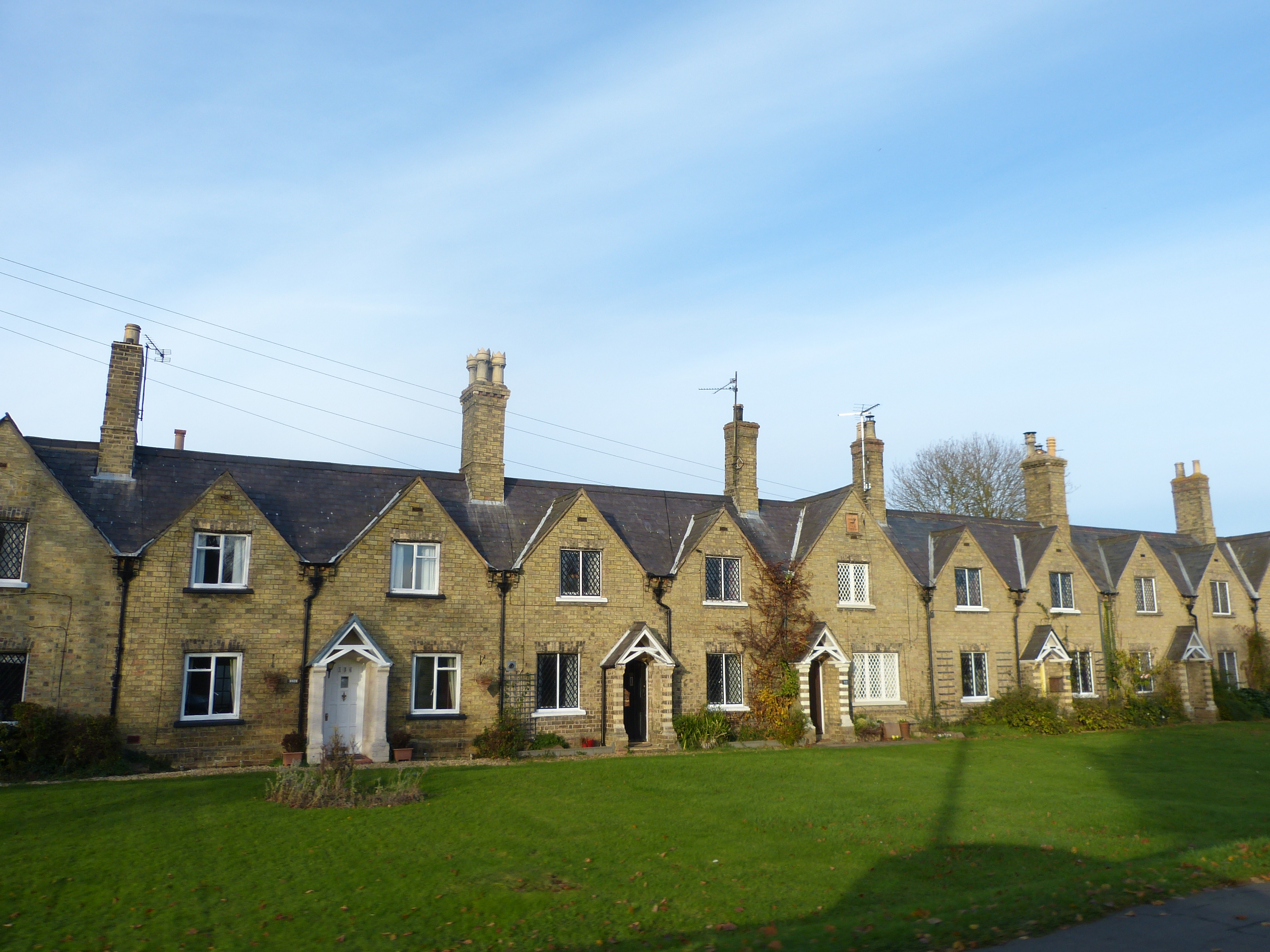
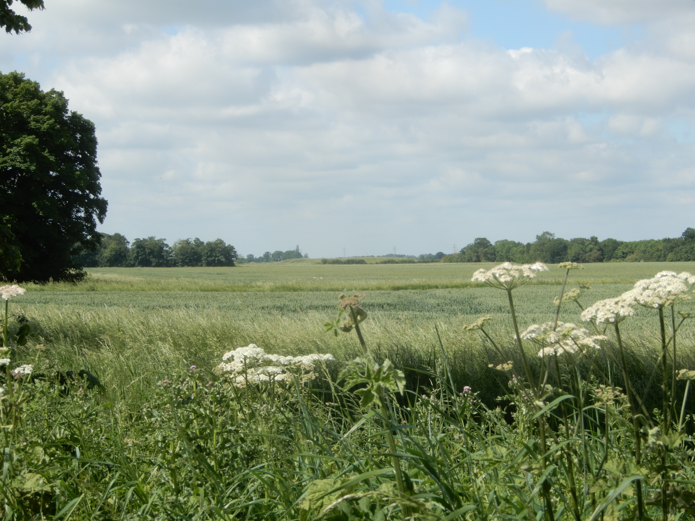
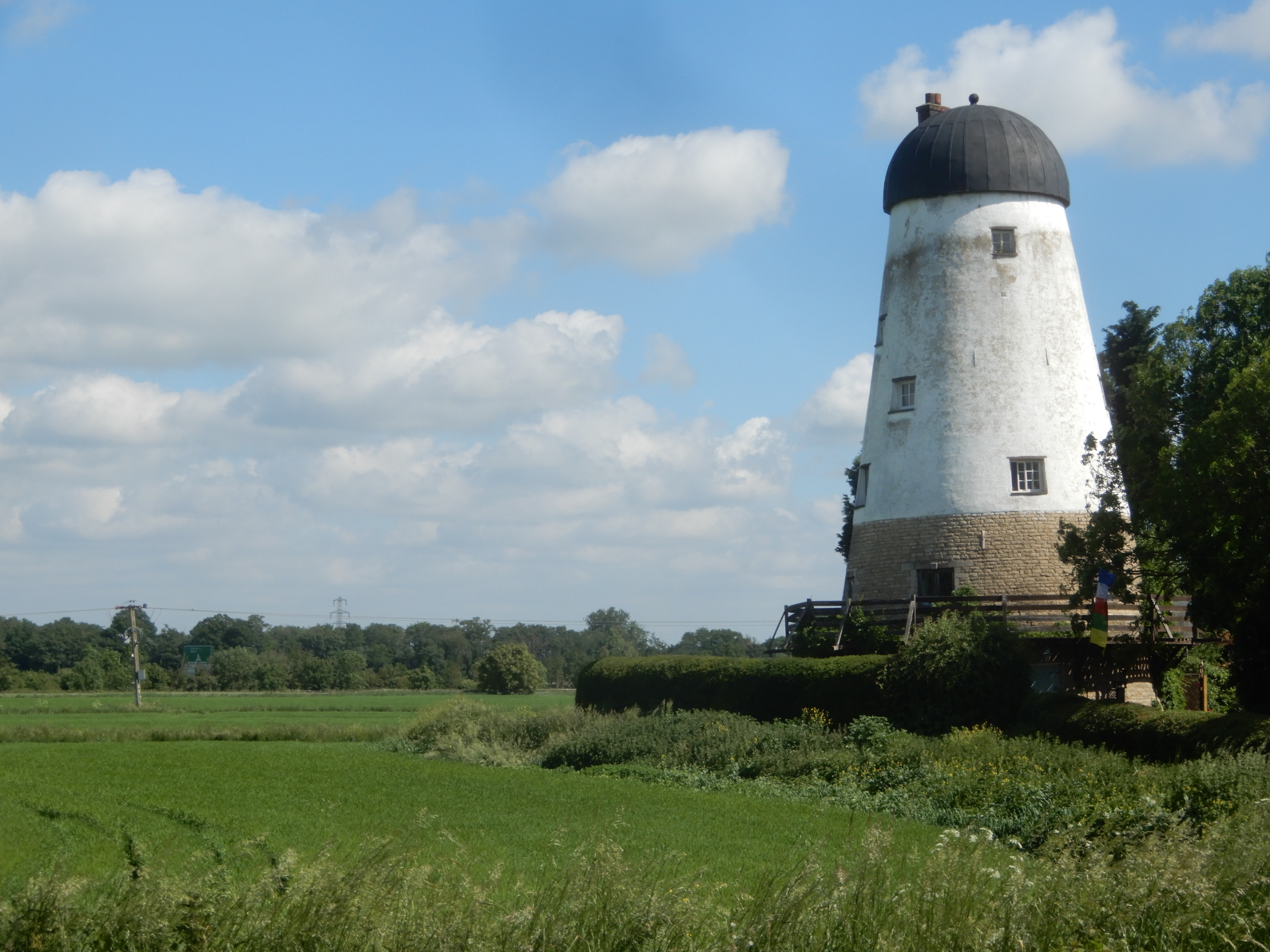
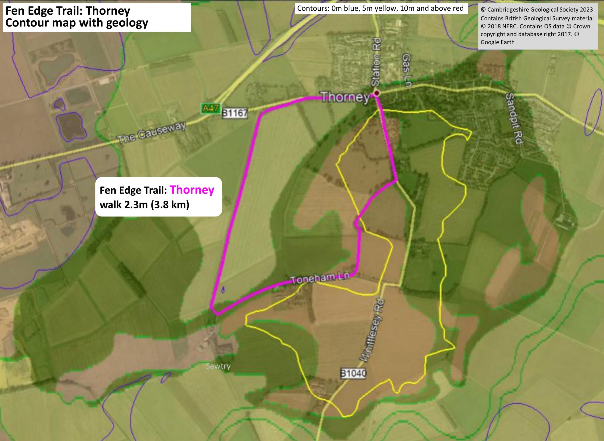
The Fen Edge Trail walk around Thorney has been designed in partnership with Thorney Museum. There will be opportunities to join a guided walk along the route on some days – contact the Museum for information. There is also a Town Trail that can be added to explore more of the history.
Thorney is a small island to the east of Peterborough has a rich history, particularly in relation to the Abbey. It lies on an outcrop of the Oxford Clay which has been partly protected from erosion by a covering of the ice-age March Gravels. It is surrounded by low-lying silty fen and is not far from the river gravels of the River Nene.
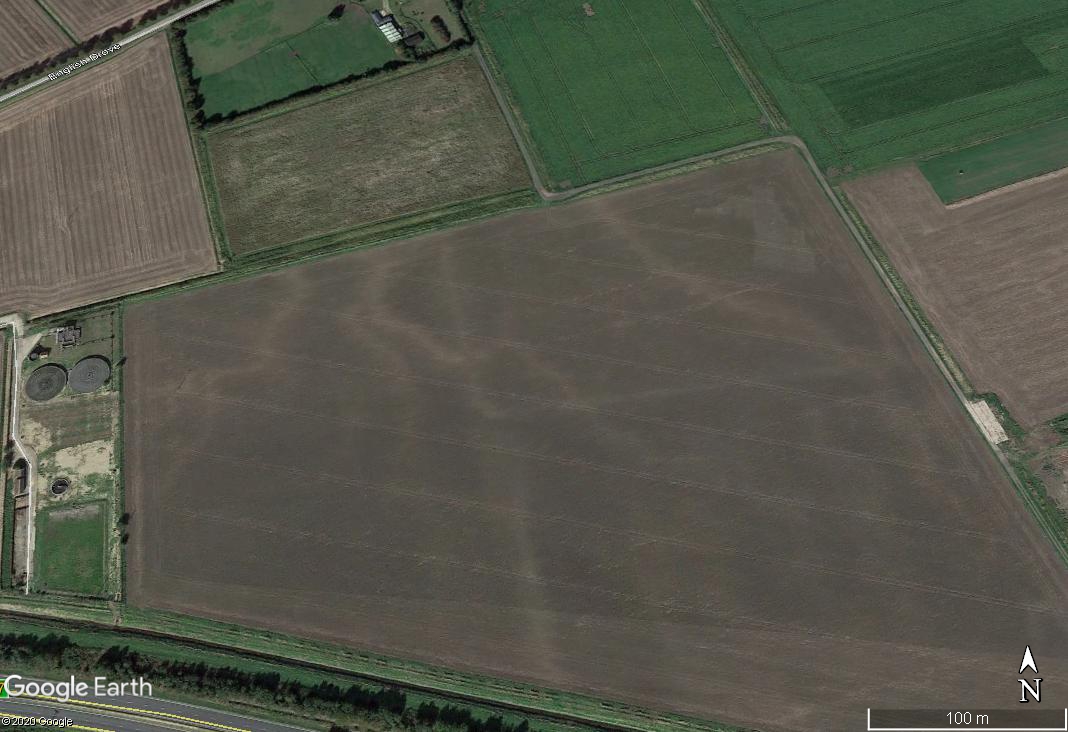
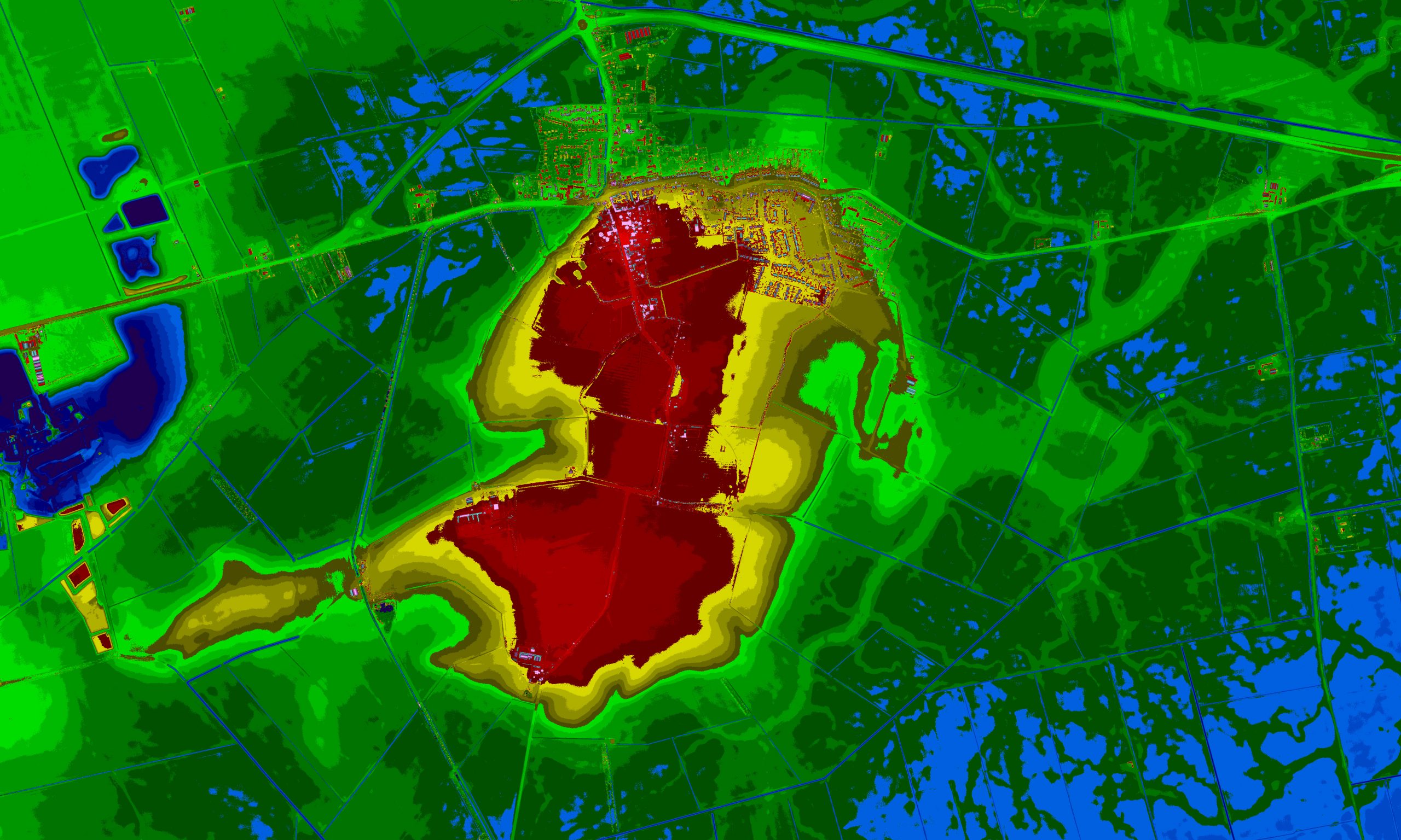
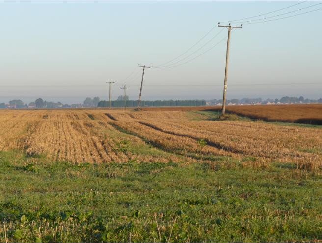
In the silty fields around Thorney it is possible to see the traces of roddons – the fossilised channels that were once part of the extensive salt marshes that covered the area. The lidar image of Thorney clearly shows the higher land (red) on which the Abbey and some of the village sits, surrounded by the low fenland (blue). The snake-like patterns on the fen are the roddons (light green) – with a large channel shown to the east fed by numerous smaller channels. These patterns are less easily seen in the fields on the ground although the colour of the soil on them is lighter than the surrounding land and they form low ridges, which are sometimes very obvious.
For more information se The Sea in the Fens.
Lidar image by Richard Cushing, data © Environment Agency 2020
Walk 1 (47): Thorney
DOWNLOAD WALK GUIDE
‘In 1135 William of Malmesbury wrote that Thorney was “a little paradise… ..delightsome as heaven itself”. I agree!’
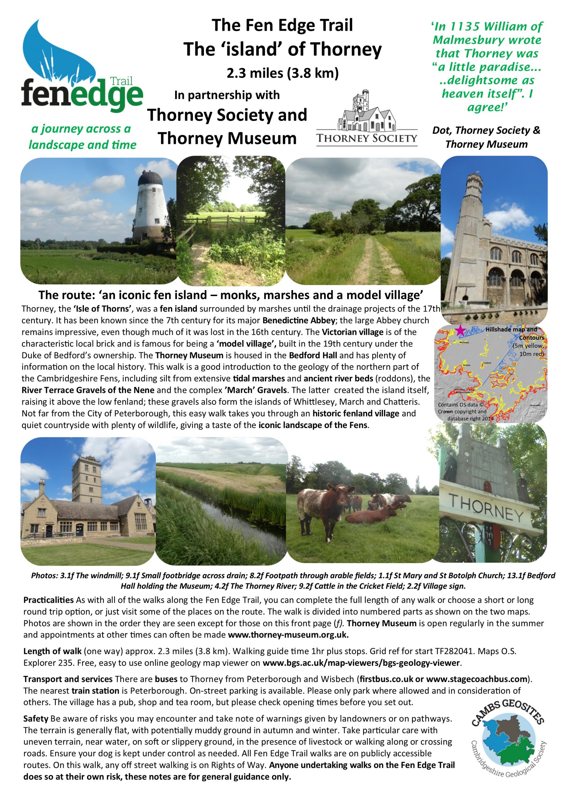
The route: ‘an iconic fen island – monks, marshes and a model village’
2.3 miles (3.8 km) Walking guide time 1hr plus stops
In partnership with the Thorney Museum and Thorney Society
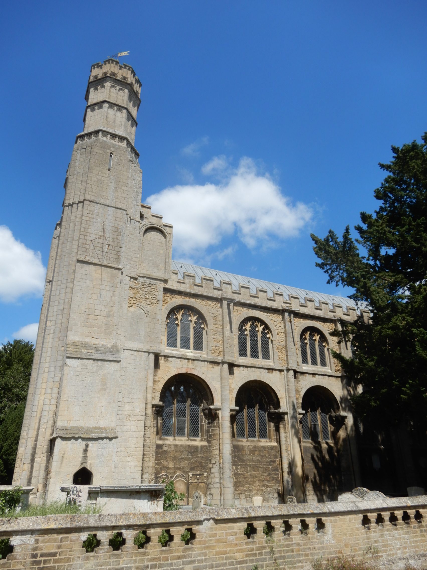
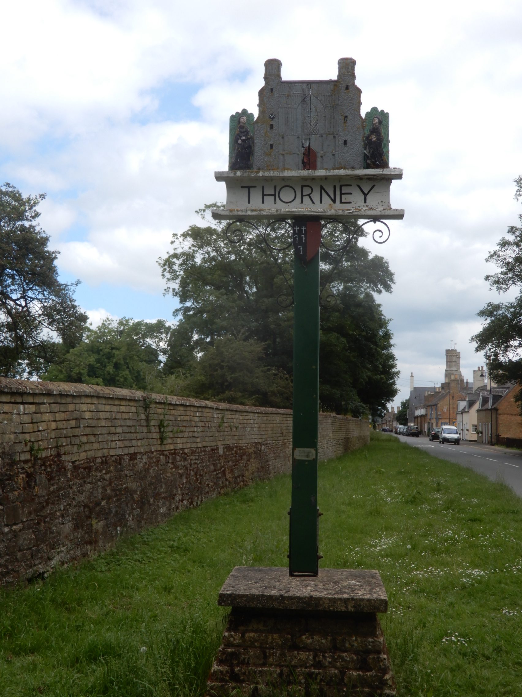
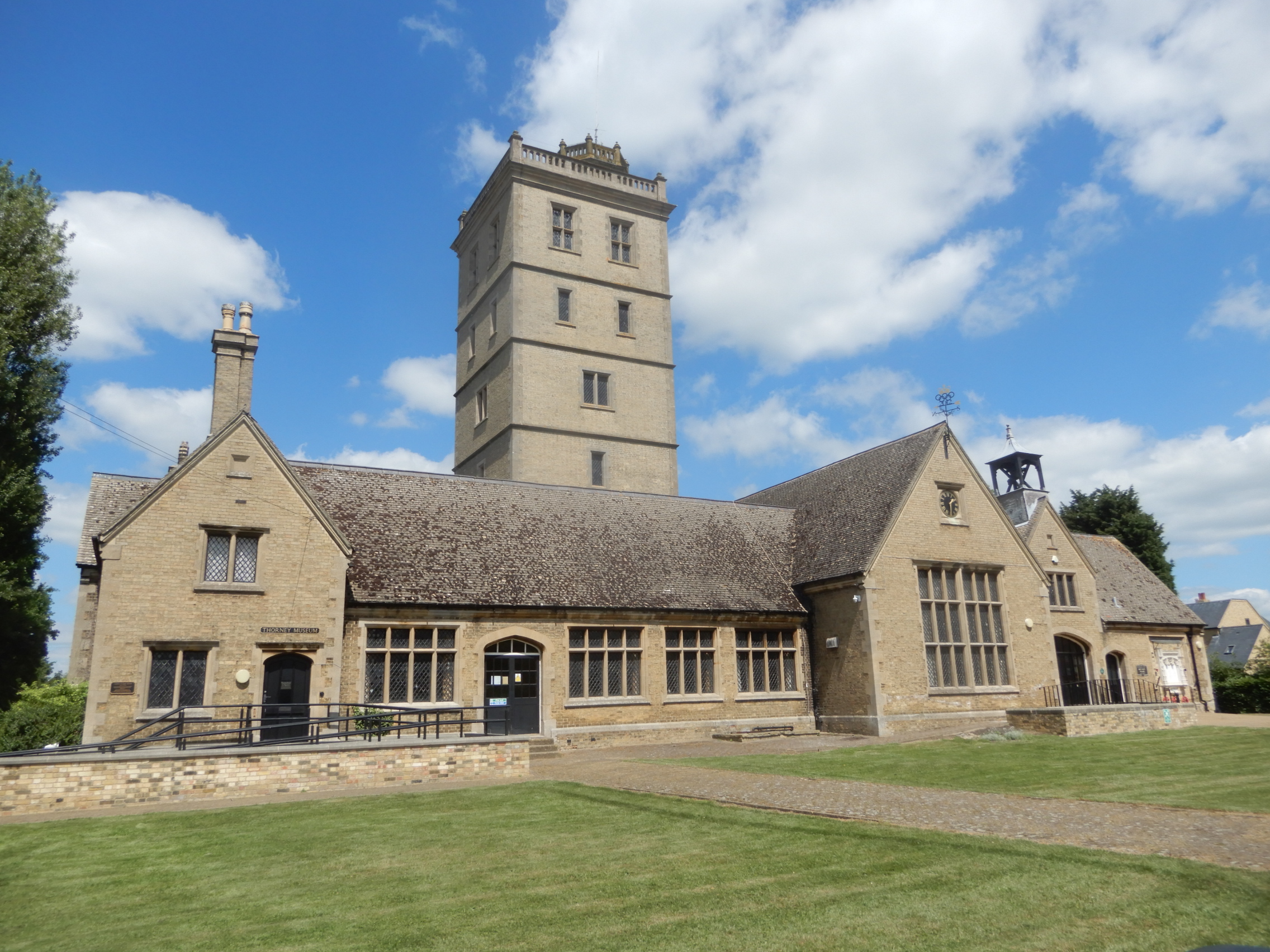
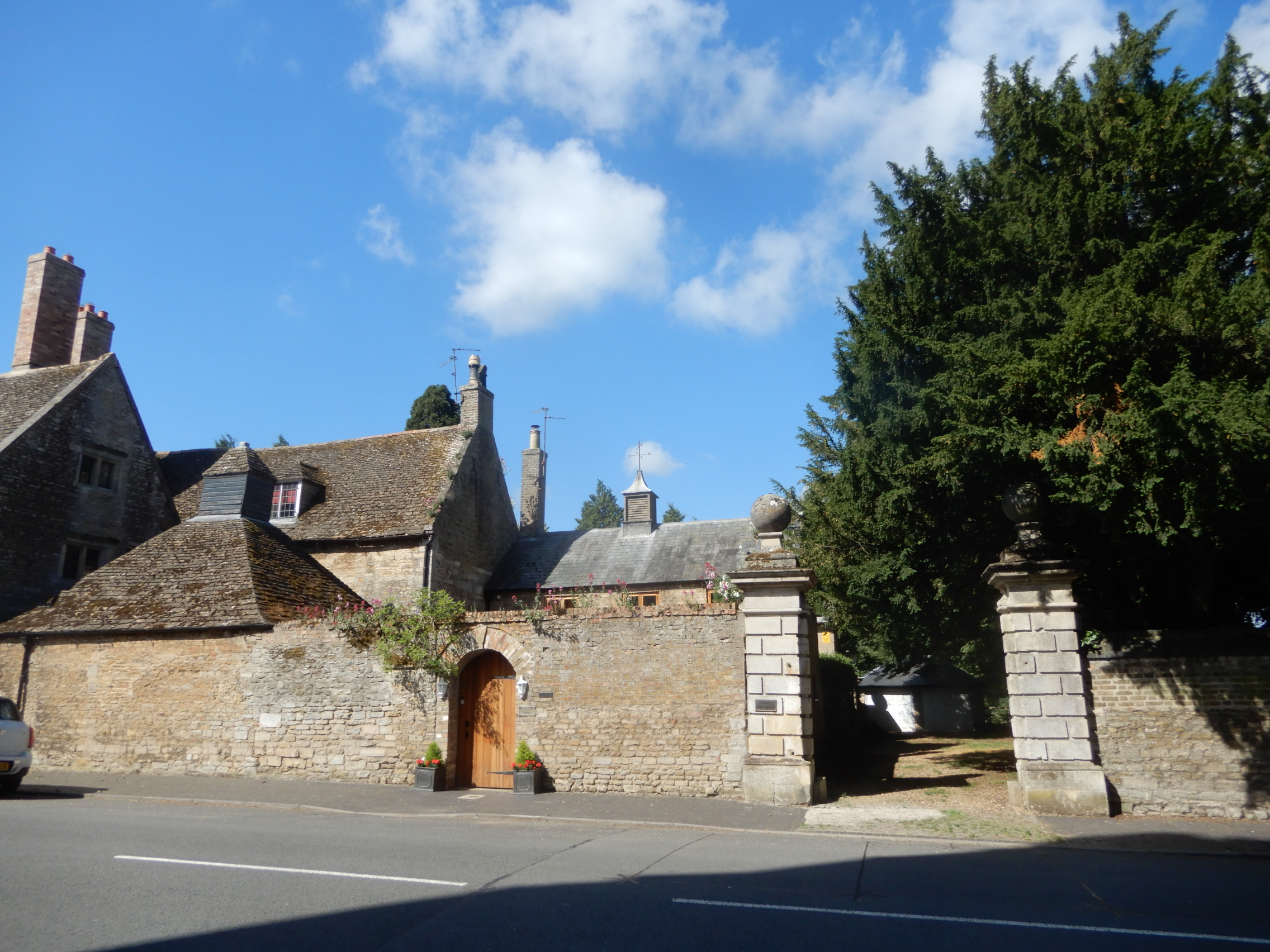
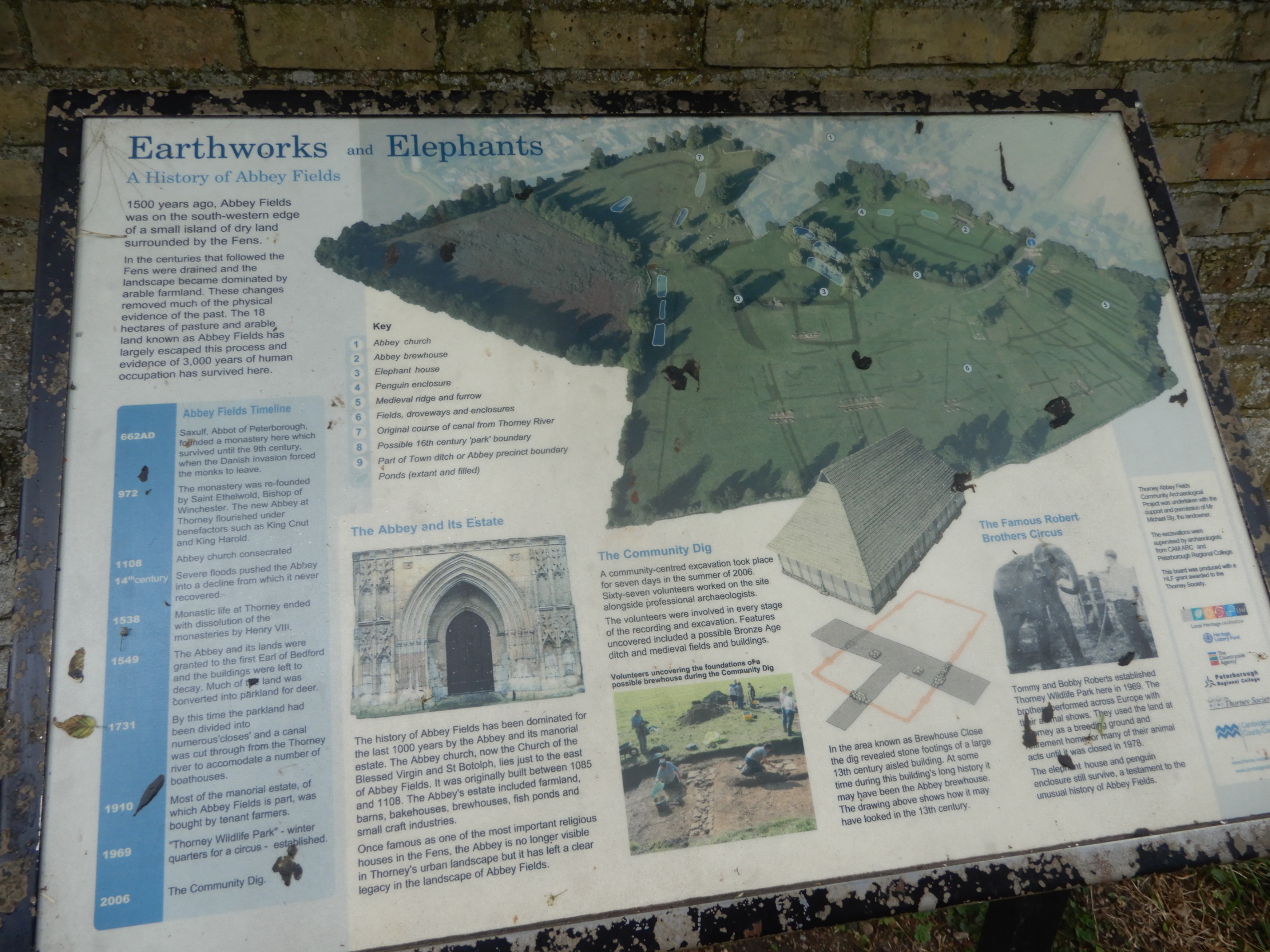
Thorney, the ‘Isle of Thorns’, was a fen island surrounded by marshes until the drainage projects of the 17th century. It has been known since the 7th century for its major Benedictine Abbey; the large Abbey church remains impressive, even though much of it was lost in the 16th century. The Victorian village is of the characteristic local brick and is famous for being a ‘model village’, built in the 19th century under the Duke of Bedford’s ownership.
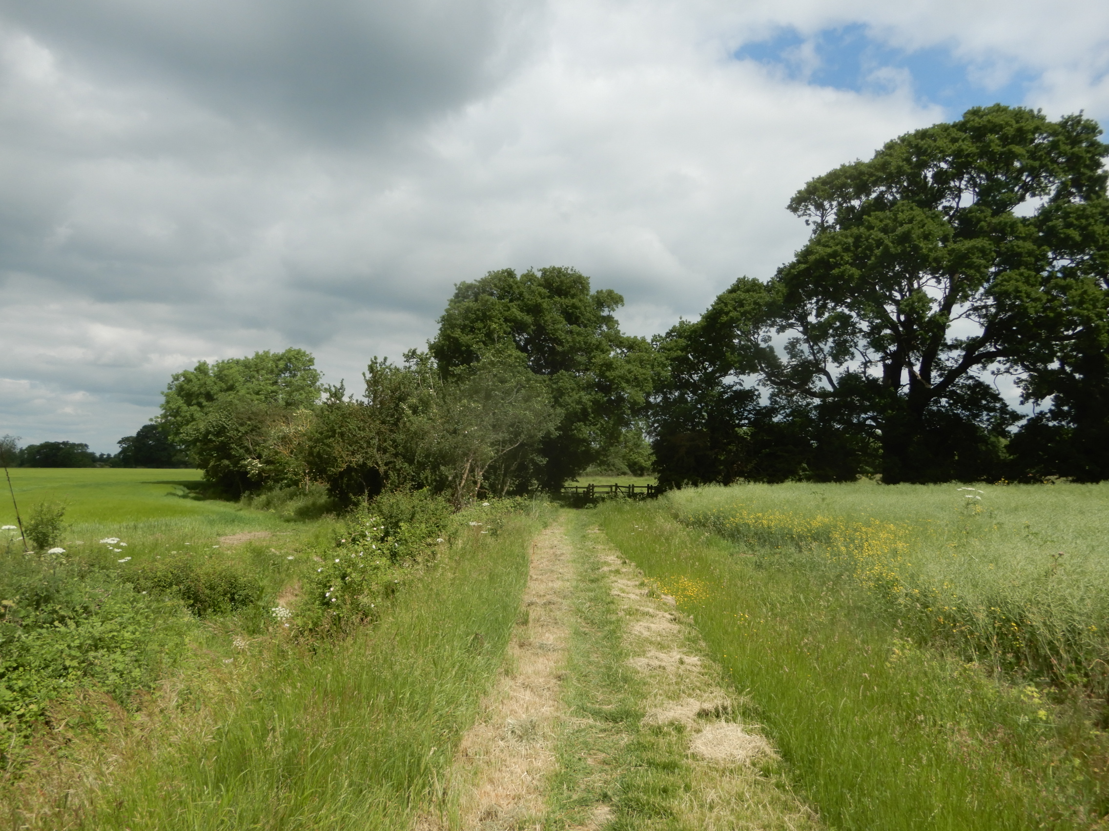
Not far from the City of Peterborough, this easy walk takes you through an historic fenland village and quiet countryside with plenty of wildlife, giving a taste of the iconic landscape of the Fens.
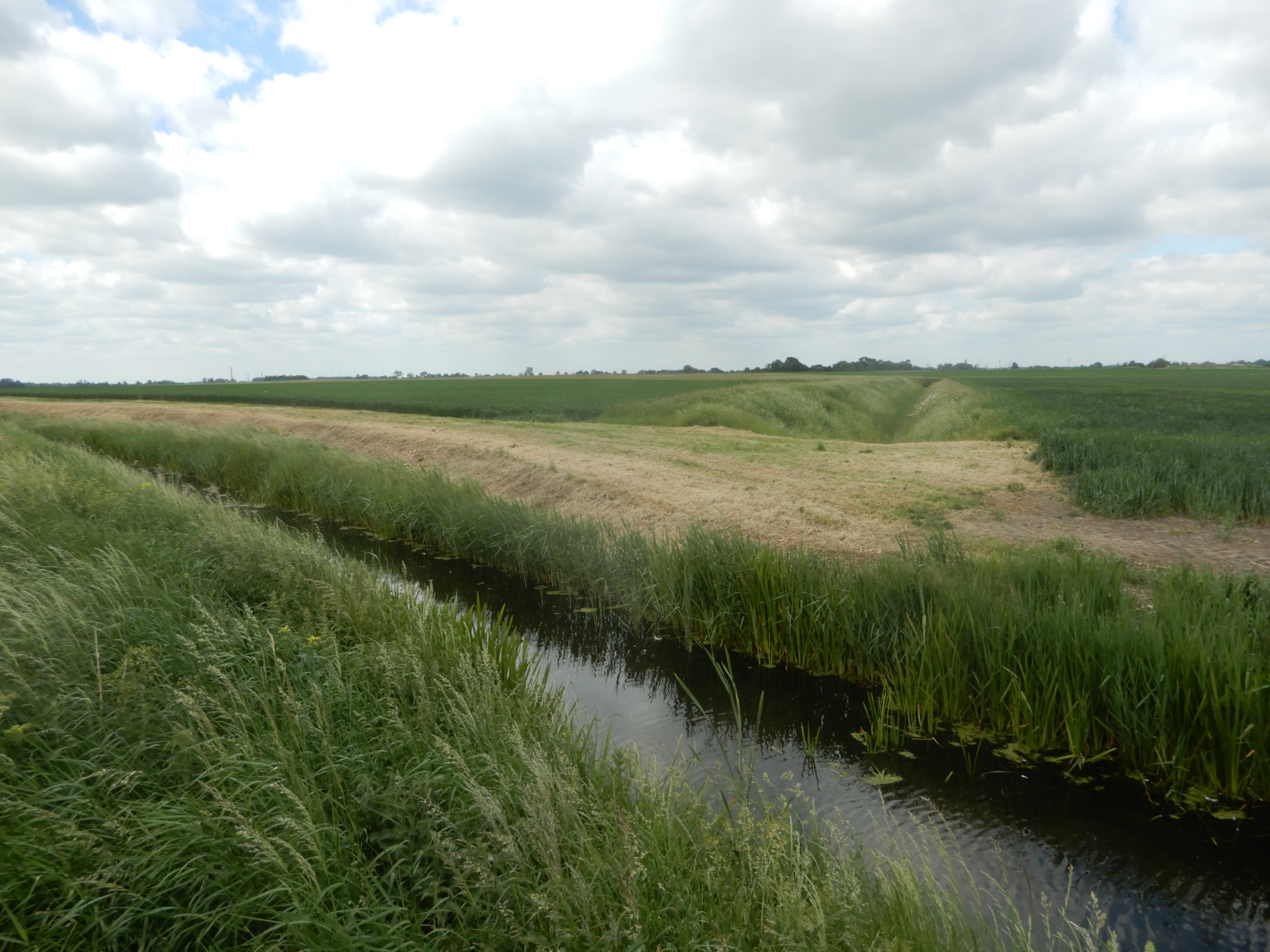
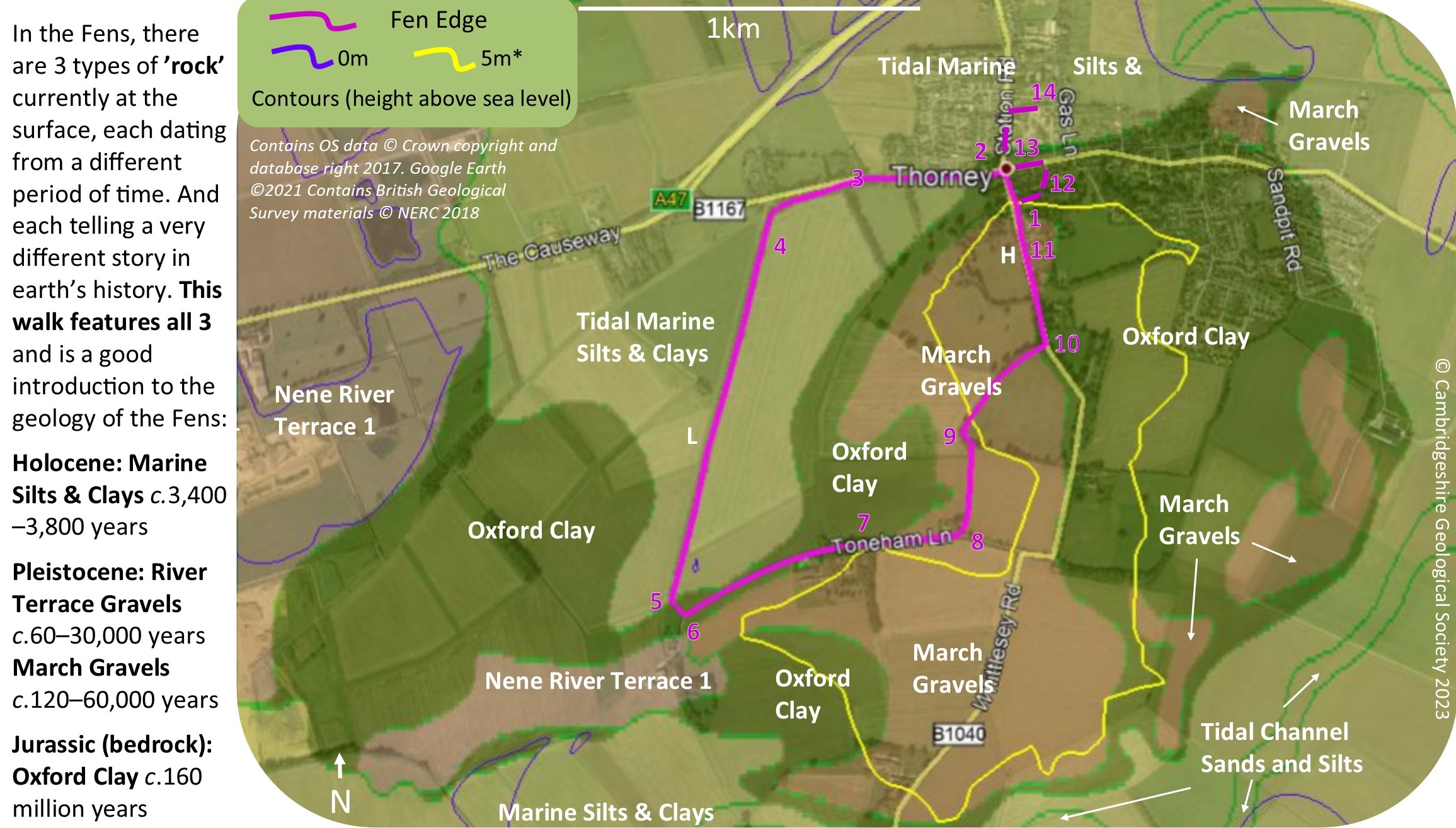
This walk is a good introduction to the geology of the northern part of the Cambridgeshire Fens, including silt from extensive tidal marshes and ancient river beds (roddons), the River Terrace Gravels of the Nene and the complex ’March’ Gravels. The latter created the island itself, raising it above the low fenland; these gravels also form the islands of Whittlesey, March and Chatteris. Having dropped down past the 5 metre ‘fen edge’, the walk descends to sea level (0 metres) as you cross the low ‘tidal marsh’ fen on the west side of Thorney, only rising above 5 metres again when you climb up onto the March Gravels. The highest point is along the road south of the Abbey where the land is about 7m above sea level (the building of the road increasing it a little to 9m). The difference in elevation often dictated where the dry land was and was very significant to the island’s inhabitants.
Landscape and Geology
The youngest deposits date from the Holocene Epoch (the last 11,700 years) and, in this area, consist of Tidal Silts and Clays that formed in salt-marsh conditions. They are known as the Barroway Drove Beds and are about 3,800 years old (from the Bronze Age) when there was a significant incursion by the sea. The lidar map shows that there are many ‘fossil’ channels (known as roddons) rising above the surrounding land; sands and silts that were the beds of tidal creeks and rivers. These have a range of dates associated with the Barroway Drove Beds, although some in the east may be from the more recent sea incursion (c.2000 years ago in Romano-British times). There are still patches of Peat (the Upper Peat) overlying some of the silts (although not large enough to be mapped) and there is Lower Peat underlying the Tidal Silts in some areas; 6,800 year old (Lower) Peat was found at depth in Adventurers Fen SSSI, not far to the east. This would have formed in the extensive freshwater marshes created by the backing up of rivers due to rising sea level after the end of the Ice Age.
© Cambridgeshire Geological Society


