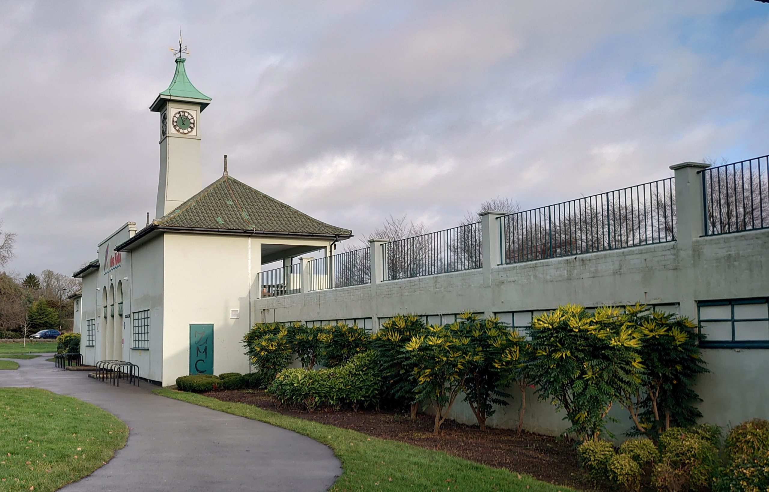
Four walks
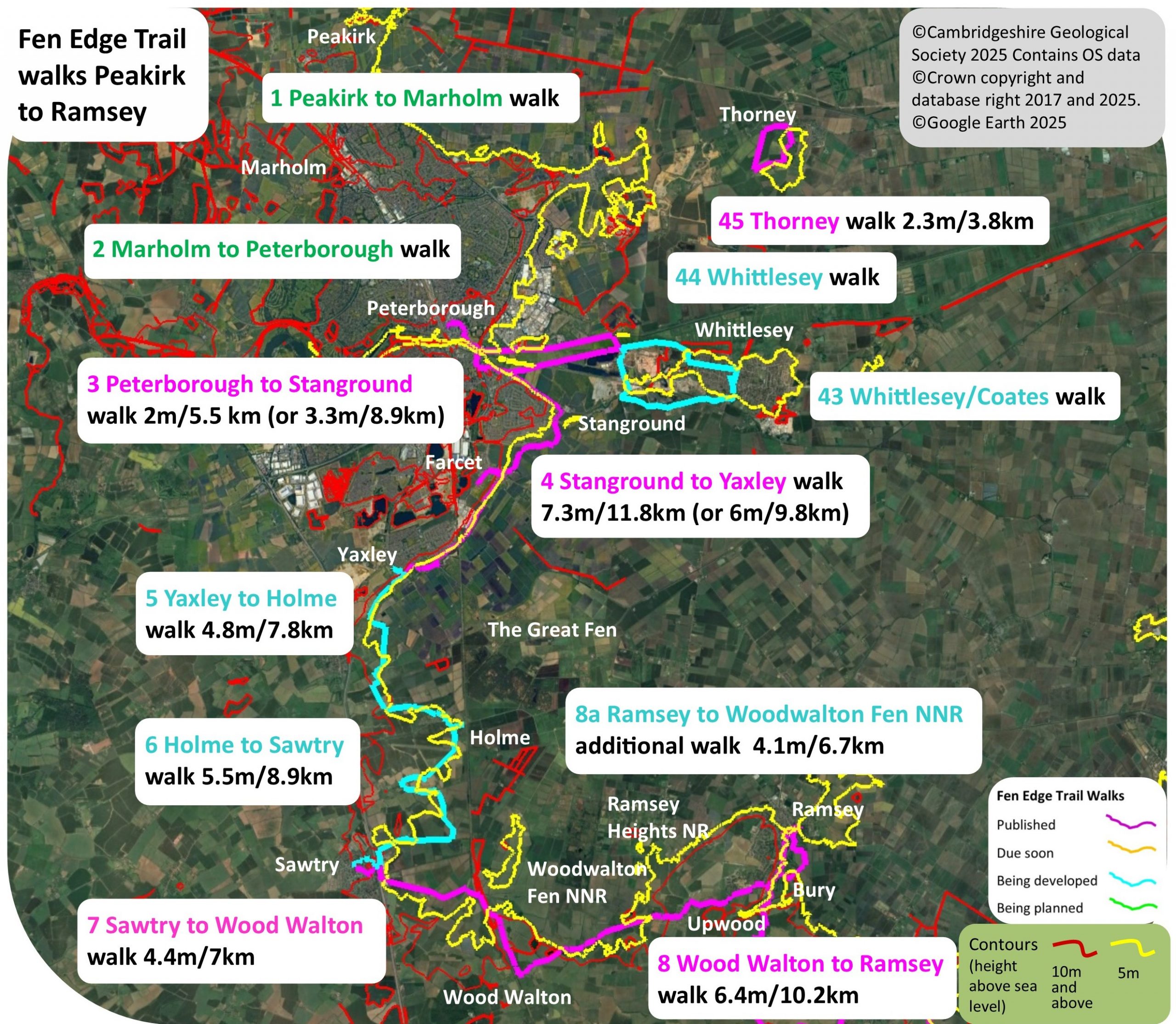
The first four walks on the Trail take you from the Lincolnshire border at Peakirk to Peterborough via Marholm and then on to Yaxley via Stangorund and Farcet.
1 Peakirk (Lincs border) to Marholm
2 Marholm to Peterborough
Planning underway. Contact us if you would like to help with these walks.
3 Peterborough to Stanground – published
4 Stanground to Yaxley via Farcet – published
Download Walk Guides below
Walks 1 & 2 (1 & 2): Peakirk to Peterborough via Marholm
Planning underway – contact us if you would like to help plan these walks
The first walk starts on the Lincolnshire border near Peakirk and takes you south through Glinton and up onto the limestone ‘plateau’ to the north f Peterborough – famous as the ‘John Clare countryside’. With several nature reserves full of limestone grassland with its characteristic native flora, it also has attractive villages built of the local Jurassic limestone, including the famous Barnack limestone, also used for Peterborough and Ely Cathedrals.
This is a very interesting area for its geology and the walking route passes Swaddywell Pit Nature Reserve and Local Geological Site, known for its exposure of Lincolnshire Limestone and also of the Tinwell-Marholm fault.
There are several ancient woodlands in the area, where the ash and maple trees grown well on the Jurassic limestones and clays. Approaching Peterborough, the second walk follows the River Nene passing flooded pits where the extensive gravels of the valley have been quarried. Now very good for wildlife, they and the riverside meadows provide an important ecological corridor to the west of the city used by many birds that travel across the fenland to the east, from the Wash. The walk ends at Peterborough Museum, an ideal finishing point where the displays of the internationally famous local fossils of huge Jurassic marine reptiles and fish can be seen.


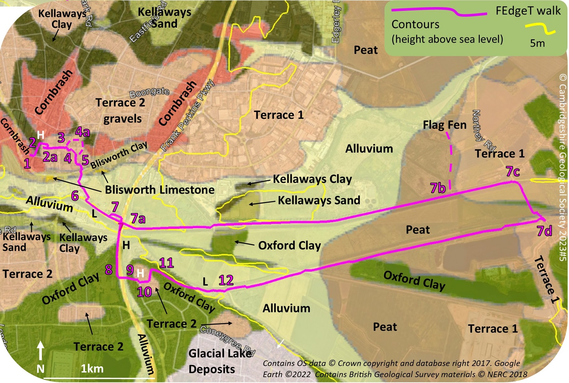
Walk 3 (3): Peterborough to Stanground
The route: ‘from the ‘sacred rock’ to the fenland Washes of the River Nene’
2 miles (3.3 km) or 5.5 miles (8.9 km) including the Nene Washes Walking guide time 1hr plus stops (or 3 hrs)
In partnership with Fenlandia
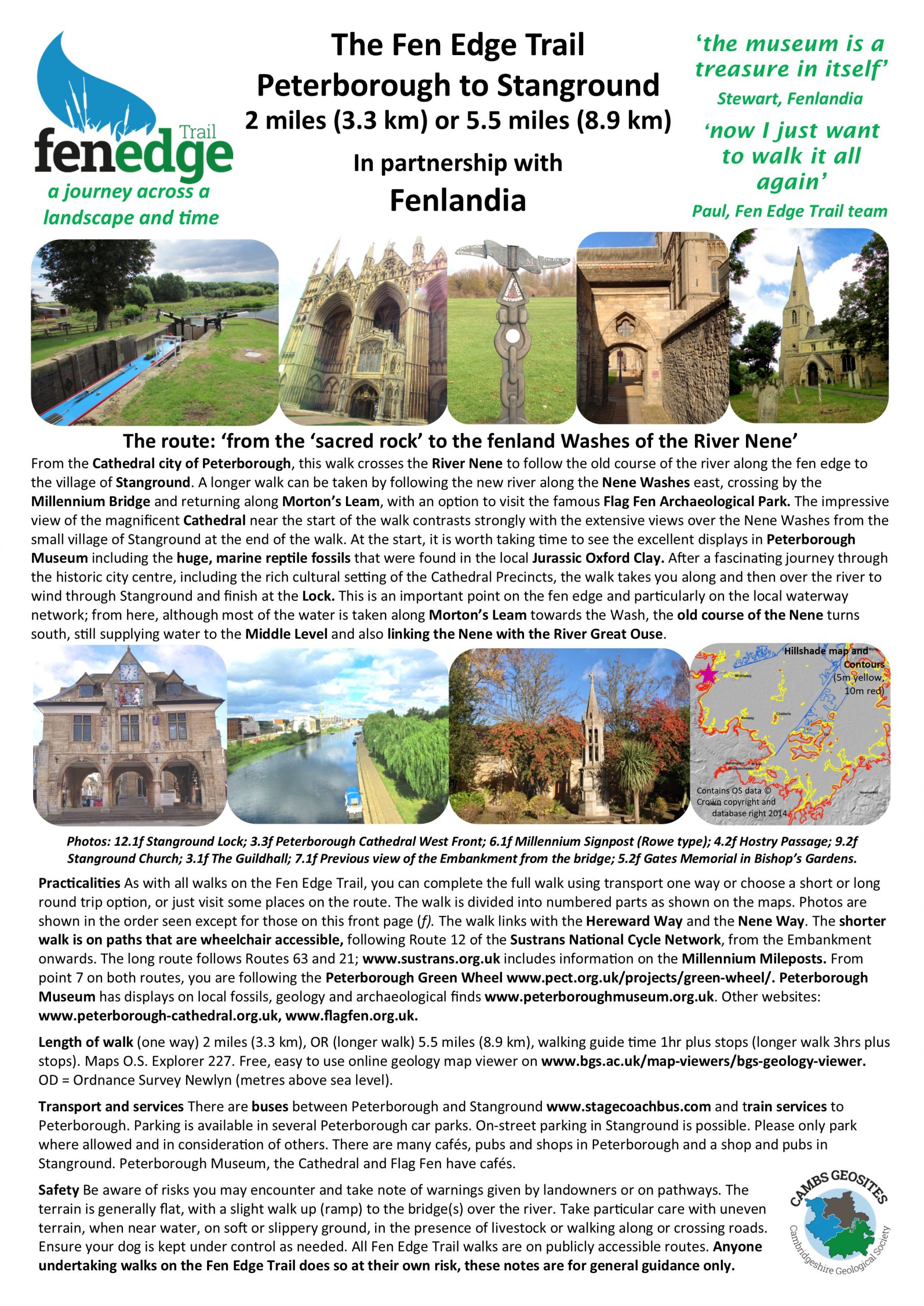
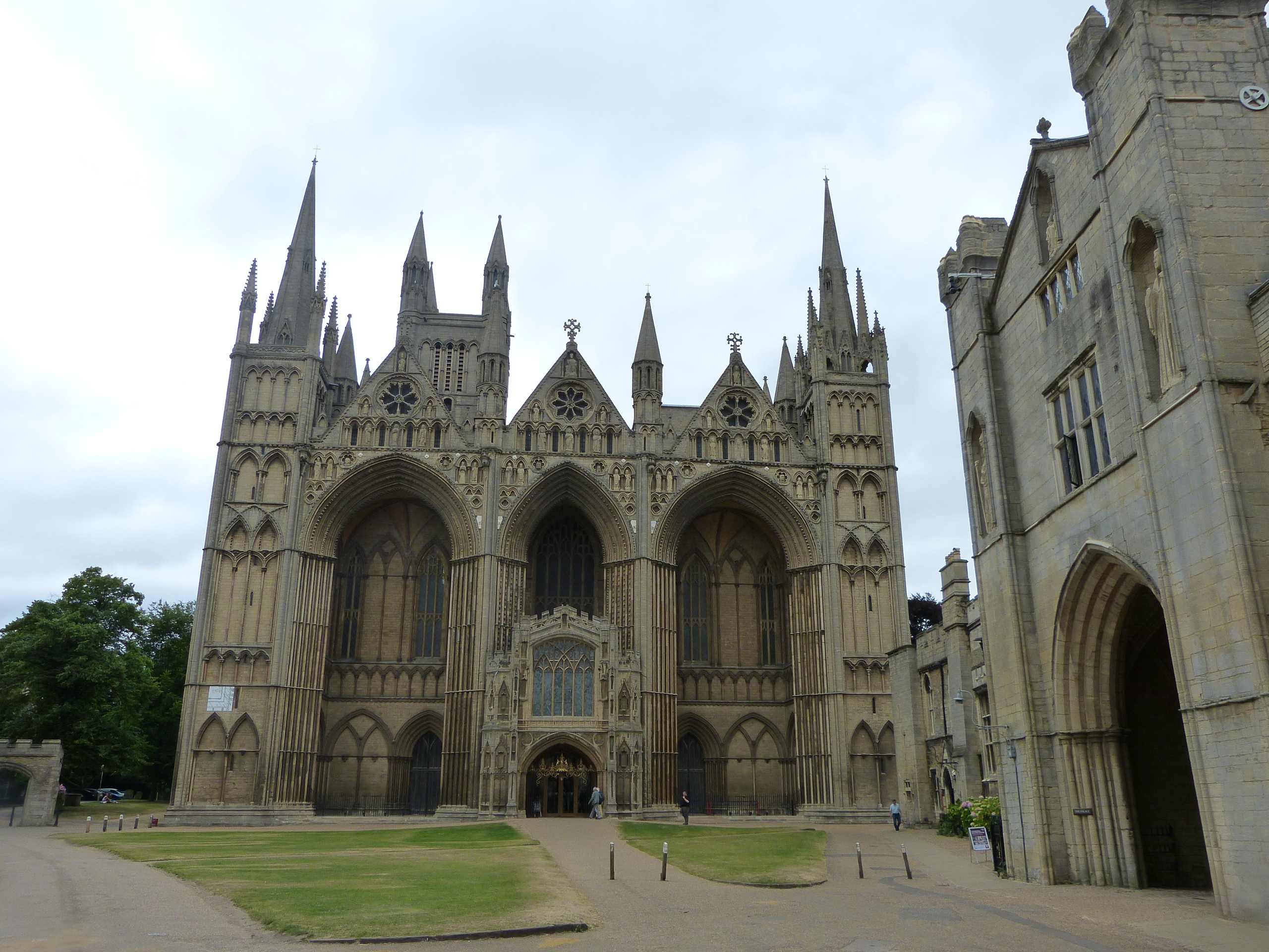
From the Cathedral city of Peterborough, this walk crosses the River Nene to follow the old course of the river along the fen edge to the village of Stanground. A longer walk can be taken by following the new river along the Nene Washes east, crossing by the Millennium Bridge and returning along Morton’s Leam, with an option to visit the famous Flag Fen Archaeological Park. The impressive view of the magnificent Cathedral near the start of the walk contrasts strongly with the extensive views over the Nene Washes from the small village of Stanground at the end of the walk. At the start, it is worth taking time to see the excellent displays in Peterborough Museum including the huge, marine reptile fossils that were found in the local Jurassic Oxford Clay.
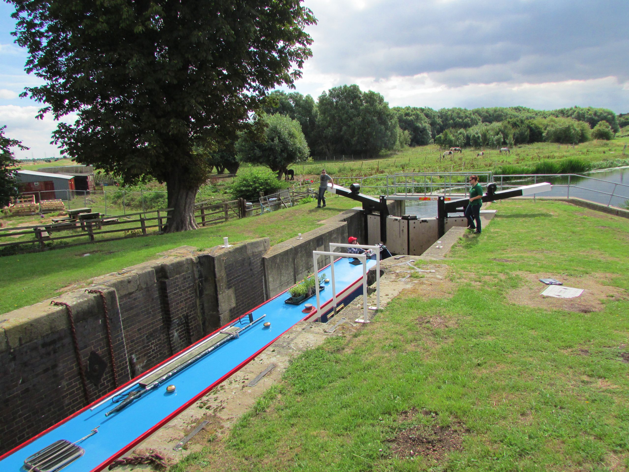
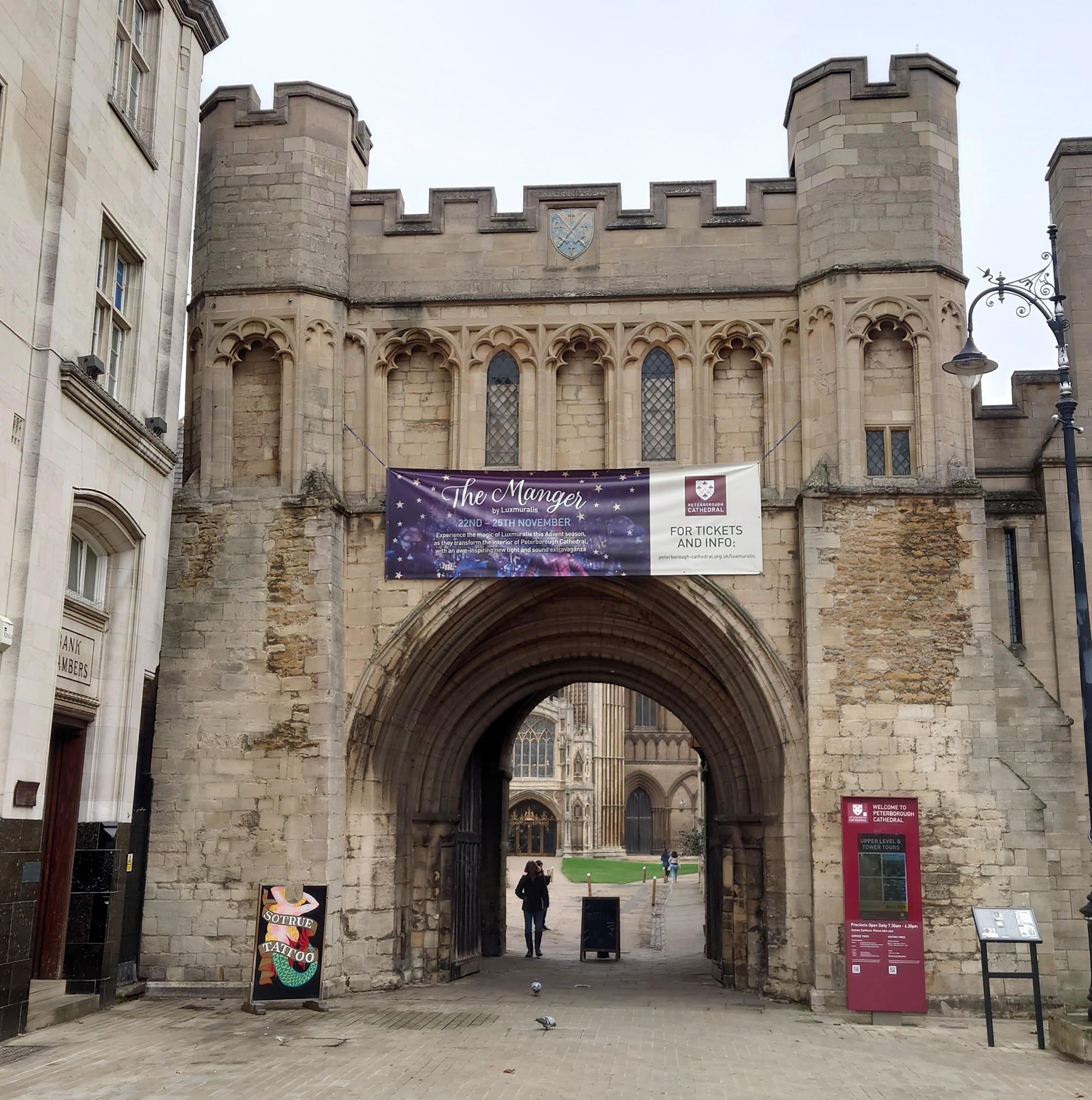
After a fascinating journey through the historic city centre, including the rich cultural setting of the Cathedral Precincts, the walk takes you along and then over the river to wind through Stanground and finish at the Lock. This is an important point on the fen edge and particularly on the local waterway network; from here, although most of the water is taken along Morton’s Leam towards the Wash, the old course of the Nene turns south, still supplying water to the Middle Level and also linking the Nene with the River Great Ouse.



Landscape and Geology
Peterborough has two outstanding geological features; firstly, the ridge of Jurassic limestone (with some accompanying Jurassic clays) on which its stands, rising above the low fenland to the east, and, secondly, the valley of the River Nene in which it lies at the point where it discharges into the Fenland Basin. The Lower Nene fen edge has a complex and significant collection of both Pleistocene (‘Ice age’) and Holocene deposits, the latter providing the setting for the internationally important archaeological sites of Flag Fen and Must Farm.
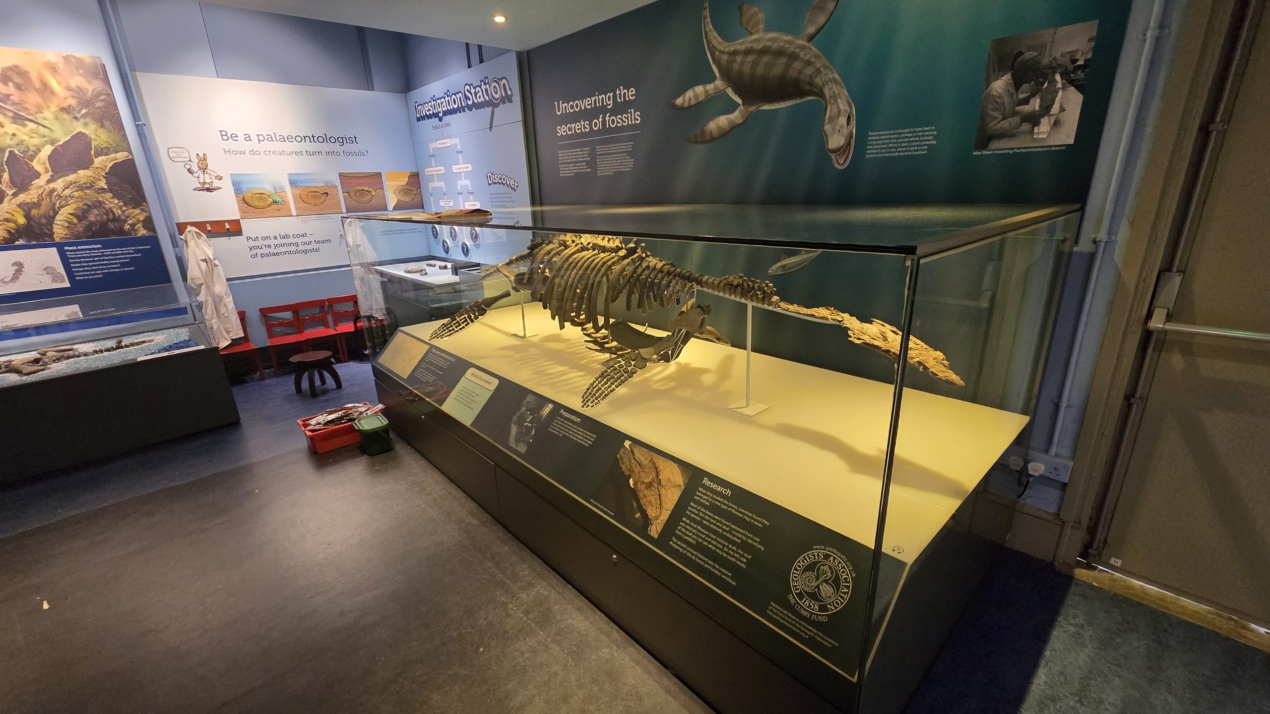
Underlying the adjacent fenland is the Oxford Clay, one of the county’s most famous rocks known for its many Jurassic fossils including huge marine reptiles such as Pliosaurs and Ichthyosaurs and the biggest (bony) fish ever found, Leedsichthys. Peterborough Museum has an excellent, and very significant, collection of these fossils that can be seen prior to the start of the walk.
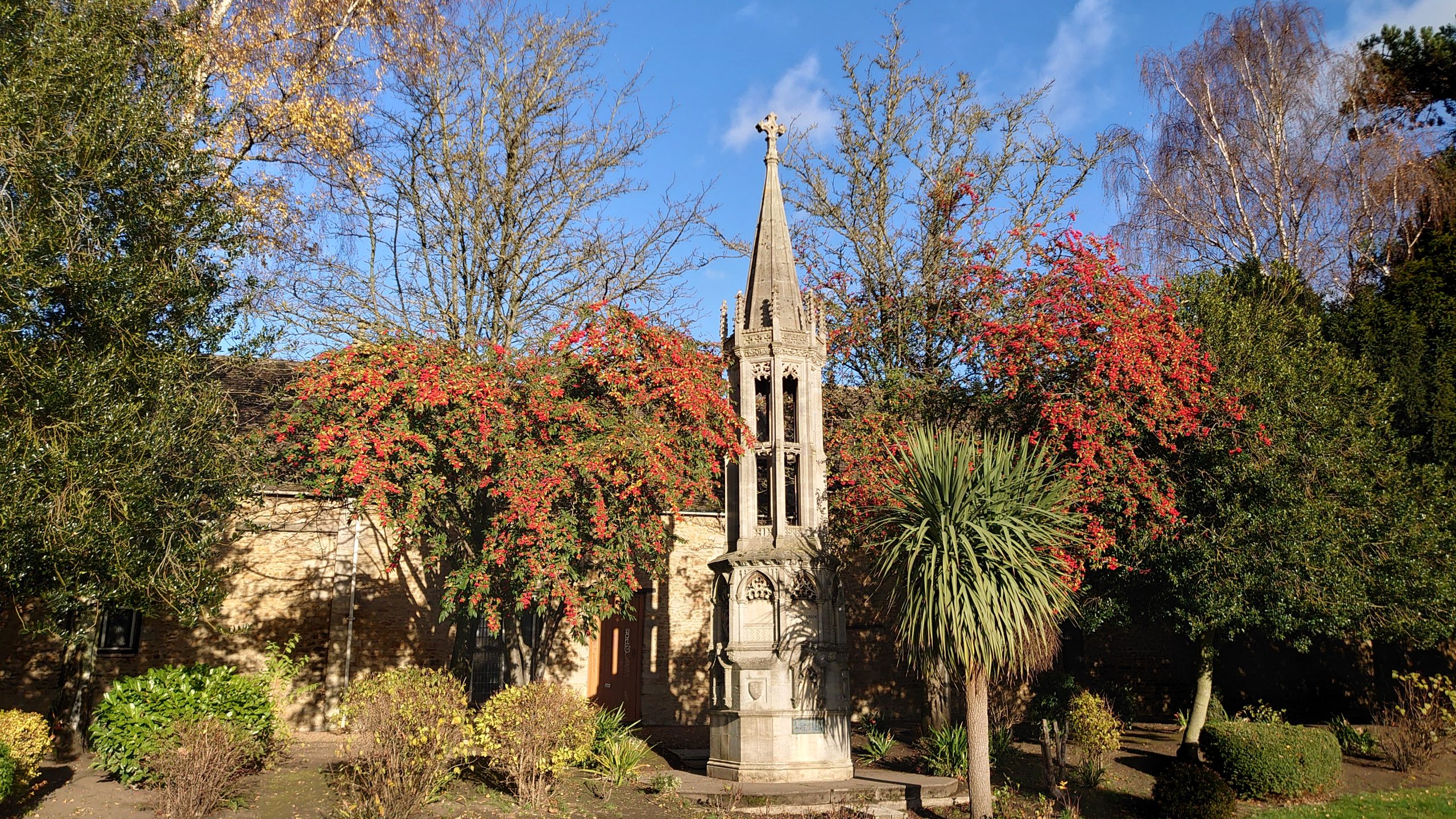
Stanground church stands on slightly higher ground underlain by river terrace material (sands and gravels), surrounded by Oxford Clay. The church is built from Lincolnshire limestone with stronger-bedded limestone on the corners. The roof is a modern material that matches stone slates.
A Geology Trail around the city was developed by Stamford and District Geological Society some years ago – a shopping trip to Queensgate can be made much more interesting by finding the fossils in its floors and walls! Peterborough Geological and Palaeontological Group has been set up to promote the study of geology in the area.
Our friend, ‘The Fenland Coddiwompler’, has created a series of videos showing his journey along this part of the Fen Edge Trail:
(CGS/The Fen Edge Trail has no right to or ownership of this video content.)
Peterborough Museum to Bishop’s Rd Gardens
Peterborough Bishop’s Rd Gardens to Stanground Church
Stanground Church to Stanground Lock
Walk 4 (4): Stanground to Yaxley via Farcet
‘I love this part of the Fens, there is so much history here’
‘You really get the feeling of being on the fen edge’
The route: ‘the ancient river, the high ridge and great fenland views’
7.3 miles (11.8 km) or shorter option 6 miles (9.8 km) Walking guide time 3.5hrs plus stops (or 3 hrs shorter option)
In partnership with Fenlandia and the Great Fen Heritage Group
Having travelled through the historic city of Peterborough and past the Nene Washes to Stanground, the Trail now follows an ancient course of the Nene along the fen edge, keeping to about 5 metres above sea level for much of the way. It then turns ‘inland’ to travel uphill into the village of Farcet, situated on the high Stanground-Yaxley ridge, formed from material left by glaciers about 300,000 years ago during the ‘Ice Age’.
Here, there are great views over the fens to the south including the large gravel island in Farcet Fen and the site of Whittlesea Mere, once probably the largest lake in lowland England. After returning to follow the edge of the low fen, the walk winds up through the village of Yaxley.

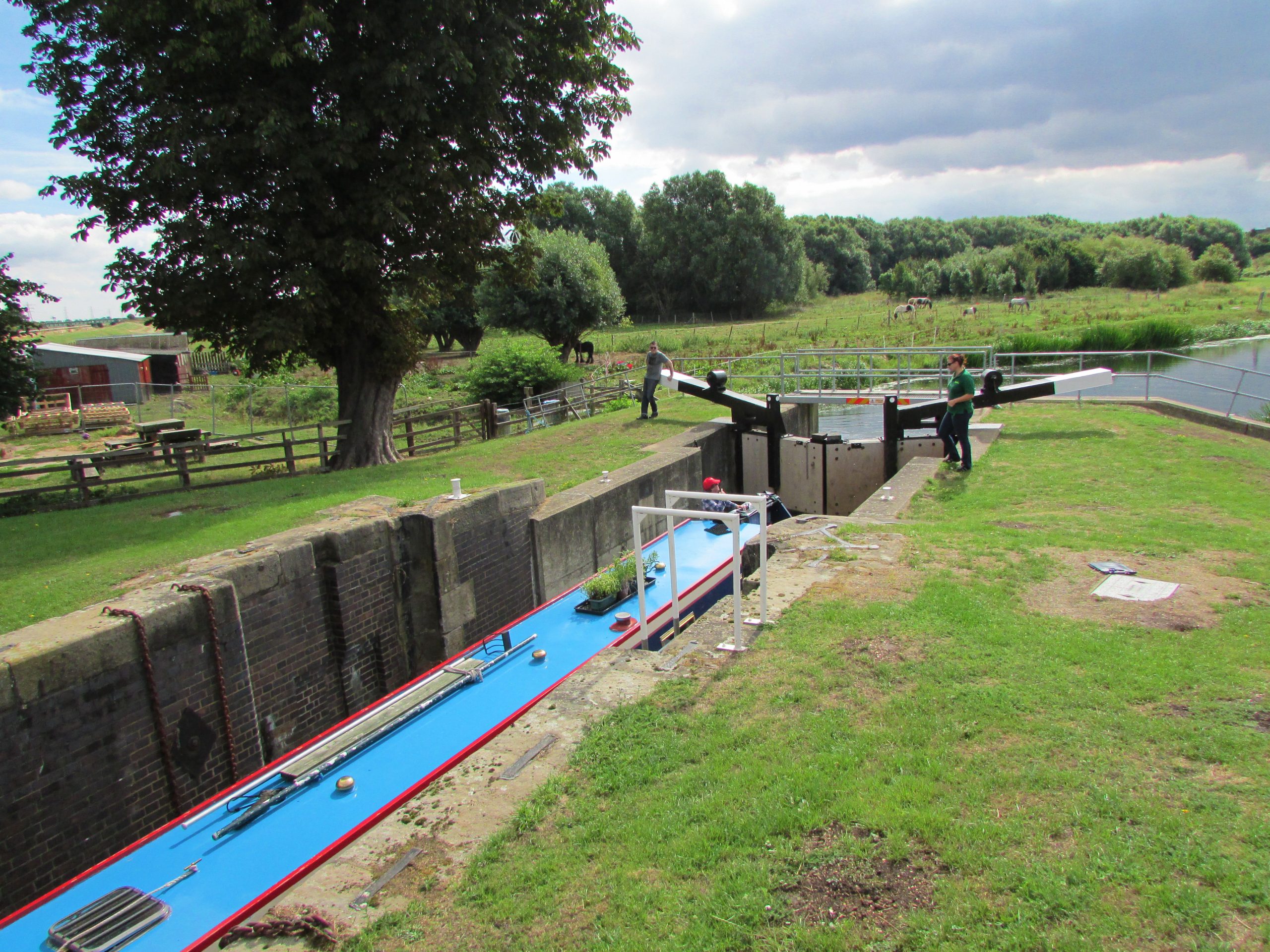


The cultural and environmental interest of the area is significant, from the abundant natural resources of the fenland and the complex system of waterways to the influence of nearby religious centres and brickmaking on the Oxford Clay. Following the old course of the Nene along the distinct fen edge, this walk takes you through an historic landscape full of geological, ecological and cultural heritage.
The cultural and environmental interest of the area is significant, from the abundant natural resources of the fenland and the complex system of waterways to the influence of nearby religious centres and brickmaking on the Oxford Clay. Following the old course of the Nene along the distinct fen edge, this walk takes you through an historic landscape full of geological, ecological and cultural heritage.
Landscape and Geology
The fenland deposits, such as Peat and river Alluvium, reach approximately as far as where the land rises to 5 metres above sea level. In this area the 5m contour runs along the south-east edge of a high ridge formed by glacial gravels and other material (Till) left by Pleistocene (‘Ice Age’) glaciers and lakes. This higher land is where Stanground, Farcet and Yaxley are situated.

Our friend, ‘The Fenland Coddiwompler’, has created a series of videos showing his journey along this part of the Fen Edge Trail:
(CGS/The Fen Edge Trail has no right to or ownership of this video content.)
Stanground Lock to Farcet
Farcet to Yaxley
© Cambridgeshire Geological Society

