Two walks
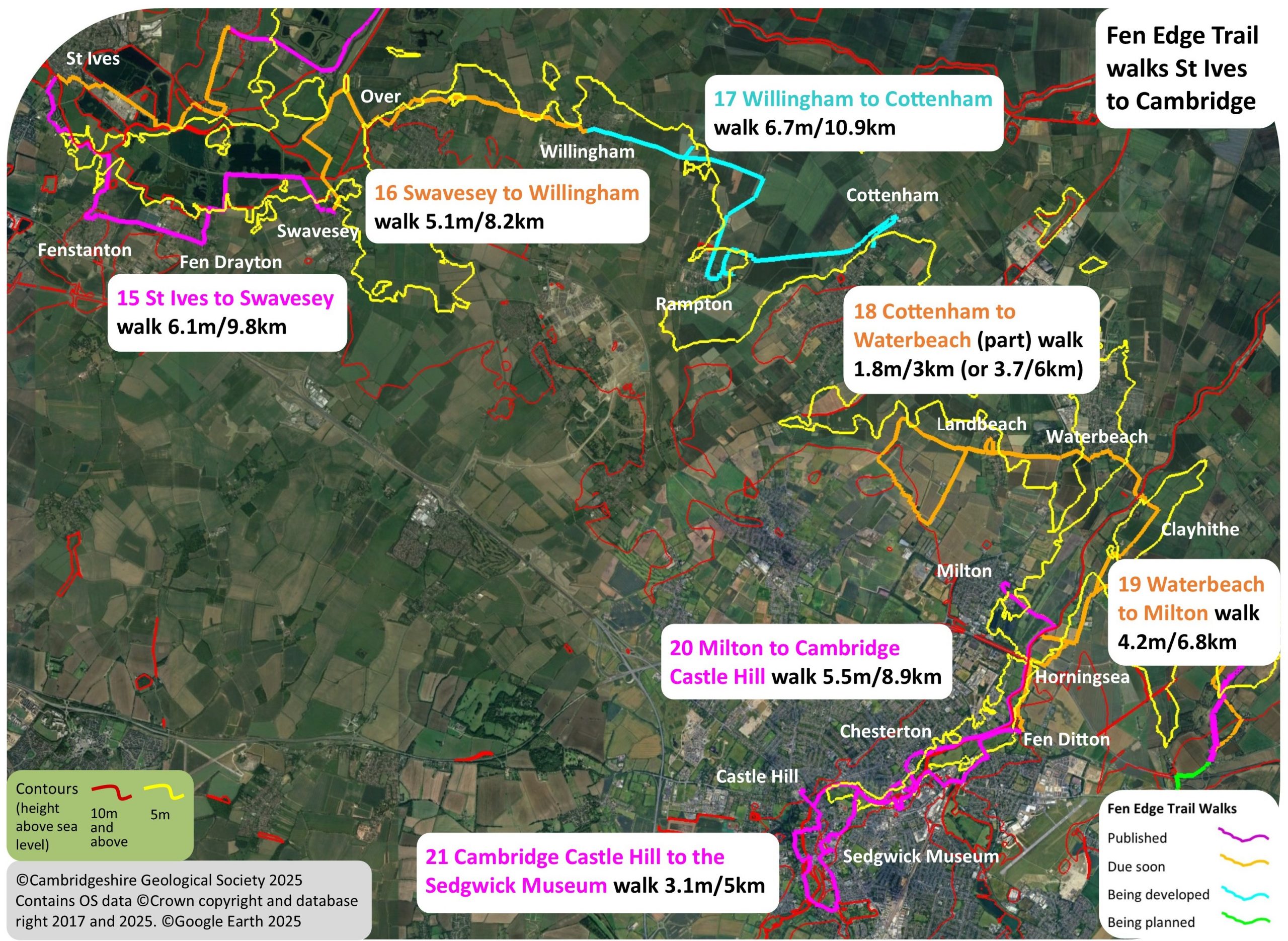
The first two walks on the section that takes you from the famous market town of St Ives to the city of Cambridge, several miles to the south-east.
1 (15) St Ives to Swavesey via Fenstanton and Fen Drayton – published
Download Walk Guide below
2 (16) Swavesey to Willingham – dues 2026
Would you or your group like to help with developing this part of the Trail? Contact us for information.
Walk 1 (15): St Ives to Swavesey via Fenstanton and Fen Drayton
DOWNLOAD WALK GUIDE
‘I like the variety of interest on this walk’
‘The route: ‘down the Valley of the Great Ouse and across its floodplain‘
6.1 miles (9.8 km) Walking guide time 3hrs plus stops
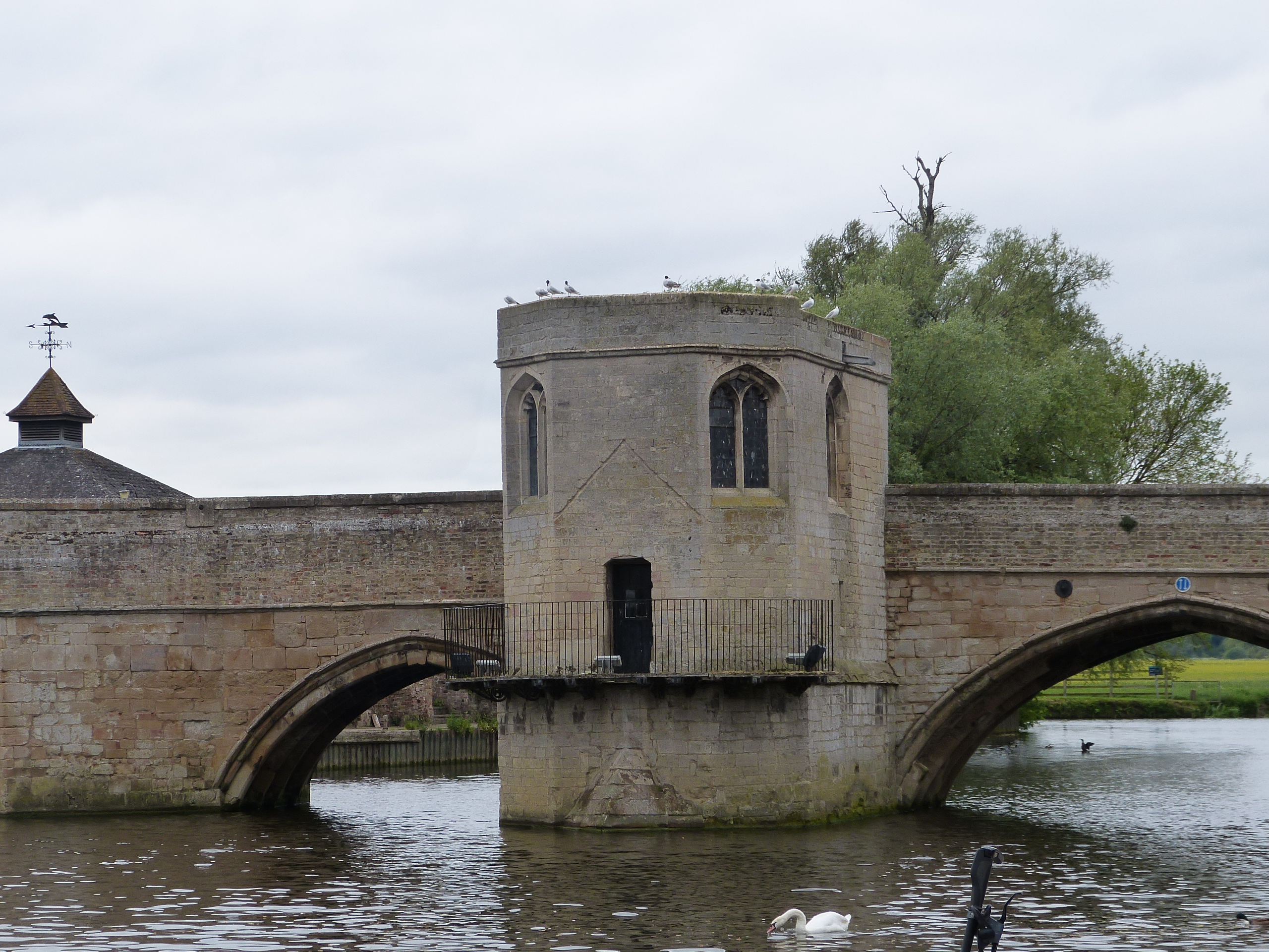
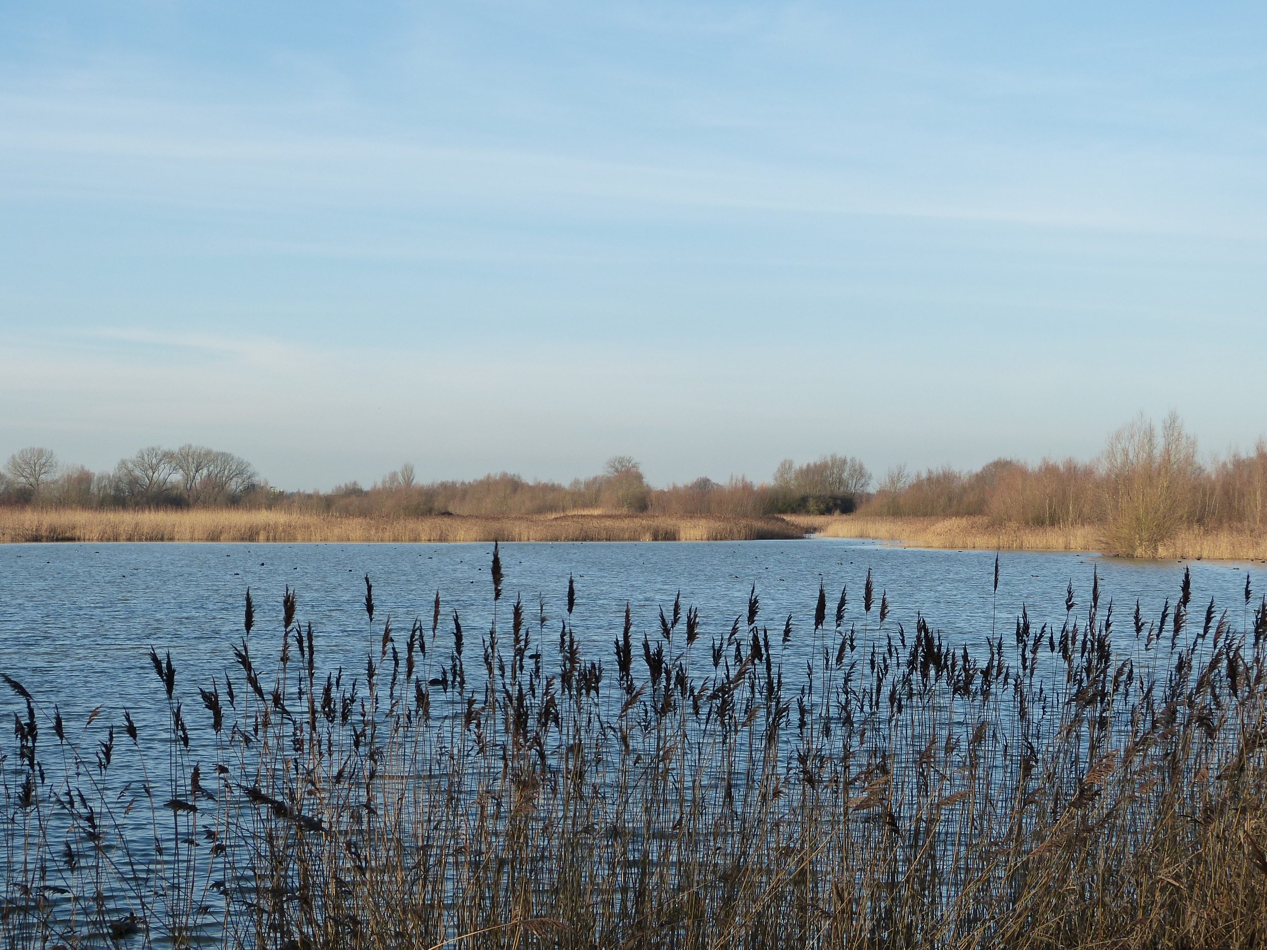
This walk is the first one on the section of the Trail between the famous market town of St Ives and the city of Cambridge, several miles to the south-east. Starting on the iconic limestone bridge in its attractive riverside setting, the Trail turns east to travel down the valley and across flood meadows to pass through the villages of Fenstanton and Fen Drayton. Once past the marina near St Ives, you descend below the 5 metre contour for the rest of the walk, except where River Terrace sands and gravels have created higher, and therefore drier, land on which the settlements are located. Flood waters continue to create fertile pastures in the valley, although these are now replaced in many areas by lakes formed from excavated gravel pits. In the RSPB Fen Drayton Lakes Nature Reserve, a large area is being transformed into a mosaic of wetland habitats reminiscent of the once extensive, wildlife-rich marshes and wet meadows that once covered the river’s floodplain and adjacent fenland. Since 1950, considerable development has taken place in St Ives, as it also has in Fenstanton and Swavesey, and to a lesser degree in Fen Drayton but it is still possible to see clues to the local history and the landscape setting of the original settlements. Generally, most buildings are located higher than 5 metres above sea level. St Ives and the three villages all deserve return visits to explore more of their history and a whole day could be spent at Fen Drayton Lakes Nature Reserve exploring for wildlife.







Landscape and Geology
Oxford Clay, of Jurassic age and known for its use in brickmaking, is the bedrock in most of this area; the beds here being from the Upper Oxford Clay. The How Brickpit west of St Ives produced numerous fossils including ammonites and cephalopods, but few of the huge marine reptiles such as plesiosaurs that are found in the older Lower Oxford Clay around Peterborough. The younger Ampthill Clay bedrock lies to the south and east of the Oxford Clay and is at the surface in the southern part of Swavesey. Between the two clays are bands of limestone known by their local names, such as ‘St Ives Rock’, which occurs at the surface in small patches to the south of Fen Drayton and to the north of the river. These form part of the ‘Corallian Group’ due to the coral limestone they contain.

In most of the area the bedrock is not at the surface as it is covered by younger (‘Superficial’) deposits. Over the last c.480,000 years, during the Pleistocene ‘Ice Age’, the forces of ice and water have created a gradually deepening river valley with an often-changing pattern of channels. This has resulted in the deposition of a complex collection of sands and gravels that form a series of River Terraces. Three terraces of the Ouse have been identified, representing different stages in the river’s history, with the oldest (3rd) generally lying furthest from the river and at the highest elevation. The 3rd dates from the temperate Ipswichian stage (c,120,000 ya) and the preceding cold (Wolstonian) stage. Fossils found in this Terrace include Giant deer, Woolly rhino, Straight-tusked elephant, Aurochs, Woolly mammoth and bison. The younger (1st and 2nd) contain material from the last glaciation, the Devensian, which ended c.11,700 years ago. A large braided river existed here in a tundra environment with periglacial conditions, depositing large amounts of sand and gravel. During the Holocene (the last 11,700 years), a fine (and very fertile) material (Alluvium) has been deposited along the valley, especially in times of flood. The presence of Alluvium to the west of Fenstanton, to the east of Fen Drayton and to the east of Swavesey show the courses of rivers that have now disappeared (or are reduced to much smaller channels).
The younger deposits cover the Jurassic bedrock along the whole of this walk. These are either the River Terrace sands and gravels, deposited during the Pleistocene Ice Age, or more recent Alluvium, left by the river during the warmer conditions of the Holocene. The walk starts on the bridge over the river channel, which is infilled with Alluvium. It then crosses the 1st/2nd Terrace (it is not possible to distinguish between the two here) sands and gravels on which most of St Ives sits. After returning to the Alluvium nearer the river, the walk reaches Fenstanton, which is located on the older and higher 3rd Terrace, with the highest point of the walk being reached at the Parish Church (16m). Fen Drayton is also on the 3rd Terrace, although not as high as Fenstanton. Descending once more onto the Alluvium of the floodplain you reach the lowest points of the walk. The elevation profile (below) shows the route as at or above 5 metres in the floodplain due to the banks built up along the river, tracks, footpaths and guided busway, although the adjacent land is below 5 metres. The walk finishes back on the younger (1st/2nd) Terrace on which the northern part of Swavesey sits.
Walk 2 (16): Swavesey to Willingham via Over
due 2026



Landscape and Geology
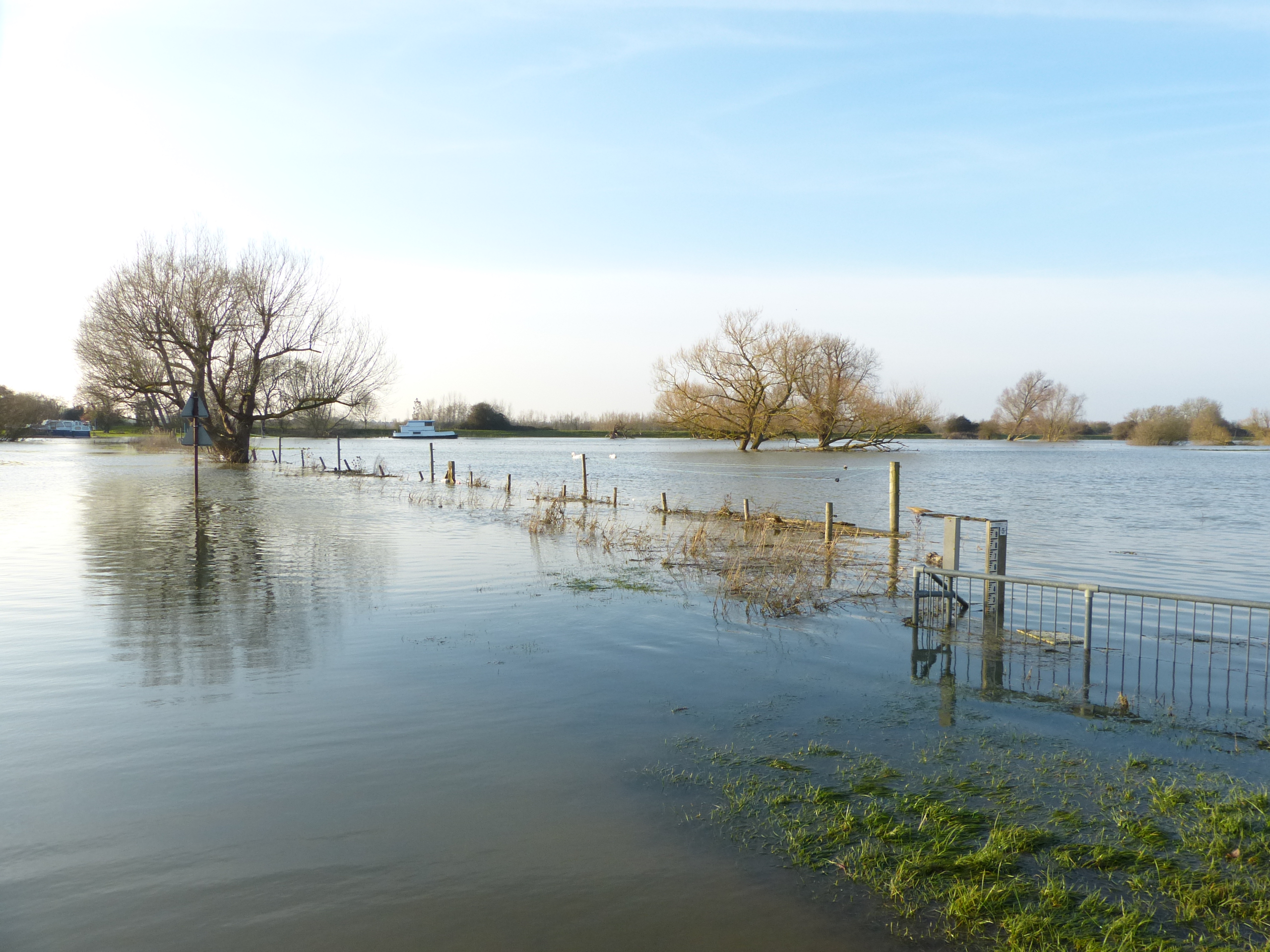
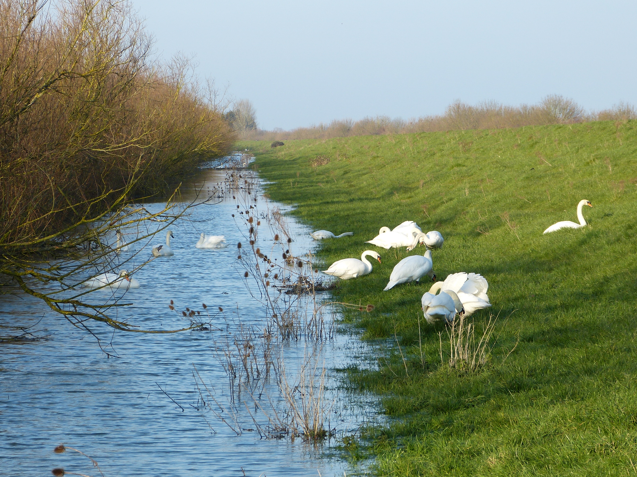
The bedrock in the area is mostly clay (Ampthill Clay). It dates from the Jurassic period when the ‘mud’ on the floor of a shallow sea became compressed enough to form a rather sticky and relatively soft rock. This is now overlain by much younger deposits the oldest being Glacial Till (Boulder Clay), material left by glaciers during the Pleistocene glaciations (c.130,000 to 425,000 years ago). There are also patches of sand and gravel from Glacial Rivers. These glacial deposits now only remain on the higher land, any left in the river valley having been eroded by powerful rivers of meltwater during subsequent glaciations which also brought the substantial deposits of sand and gravel that form ’Terraces’. These can be aged by the fossils they contain – the younger 1st/2nd terraces are difficult to differentiate but the older 3rd and 4th terraces are more distinctive. Along the Ouse are extensive deposits of Alluvium, a finer material (covering hundreds of hectares in this area) that formed in more recent times and is still being left by the river, especially in times of flood. In some areas Peat is at the surface (elsewhere it underlies the Alluvium). This formed during stable periods of (freshwater) waterlogging at some stage in the last few thousand years.

© Cambridgeshire Geological Society
