
Peterborough to Ramsey

The part of the Trail consists of three sections.
Peterborough to Yaxley Yaxley to Sawtry Sawtry to Ramsey
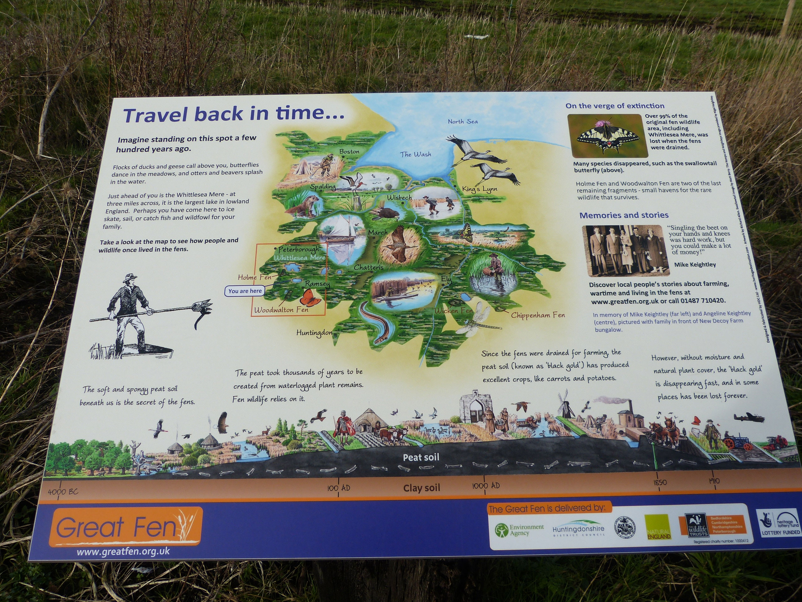
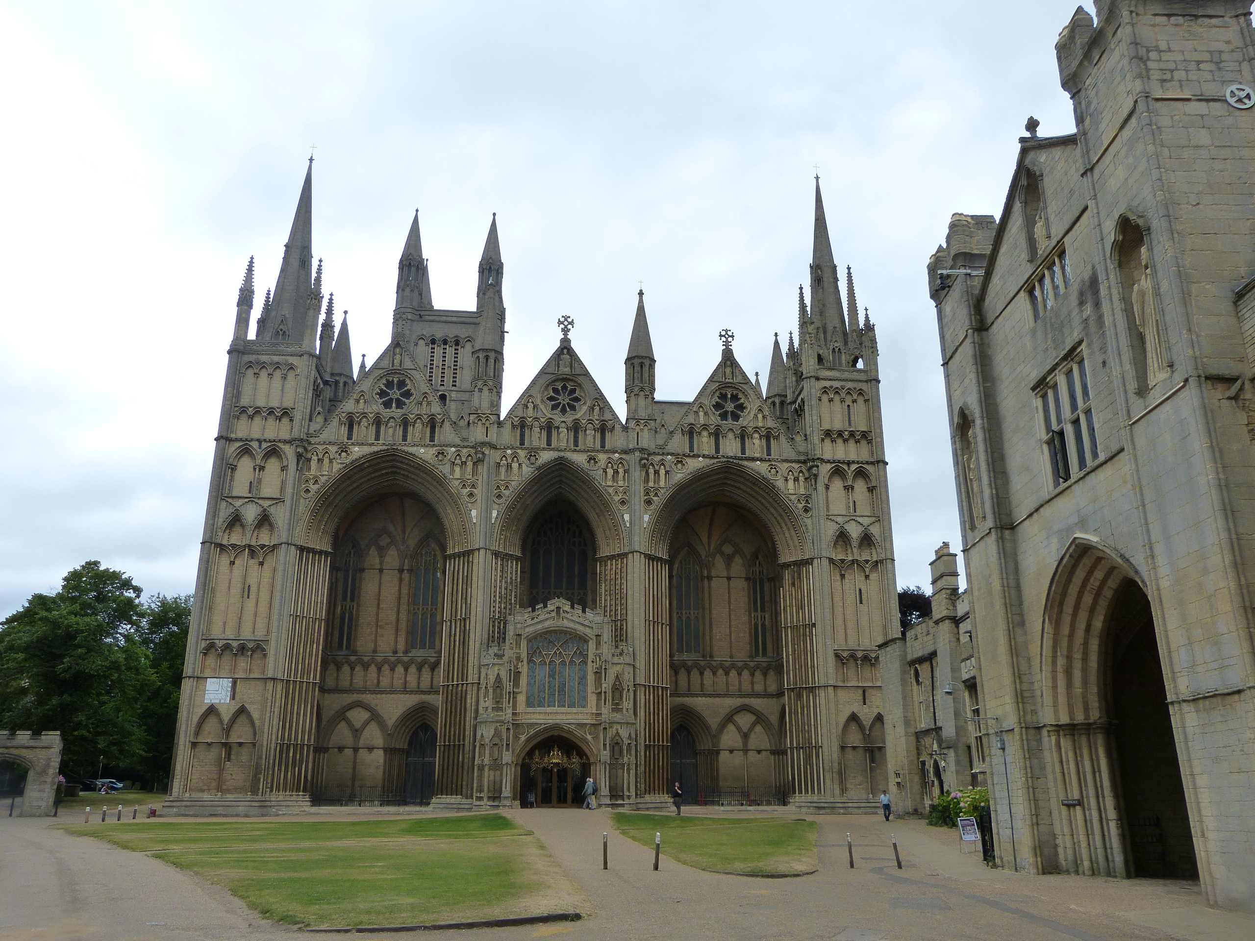
In the north west of Cambridgeshire, the fenland is bordered by the higher land of a ‘plateau’ formed from mostly Jurassic limestones. These harder rocks are less easily eroded than the clays underlying the fenland and have provided drier land on which the historic city of Peterborough was established.
Starting near Peakirk, at the border with Lincolnshire, the Trail leads across limestone country to the north of Peterborough,to the centre of the city itself. The River Nene is a major landscape feature of the area and the Trail crosses it as it turns south towards Stanground, following the old course of the Nene to reach Farcet. The walk then follows the Yaxley Ridge, formed of glacial deposits from the Pleistocene ‘Ice Age’ giving views over the north western part of the Cambridgeshire Fens, including the site of the former Whittlesey Mere. Highlights include Peterborough Cathedral, Peterborough Museum, River Nene, Stanground Wash, and Fen View Heritage Centre at Farcet.
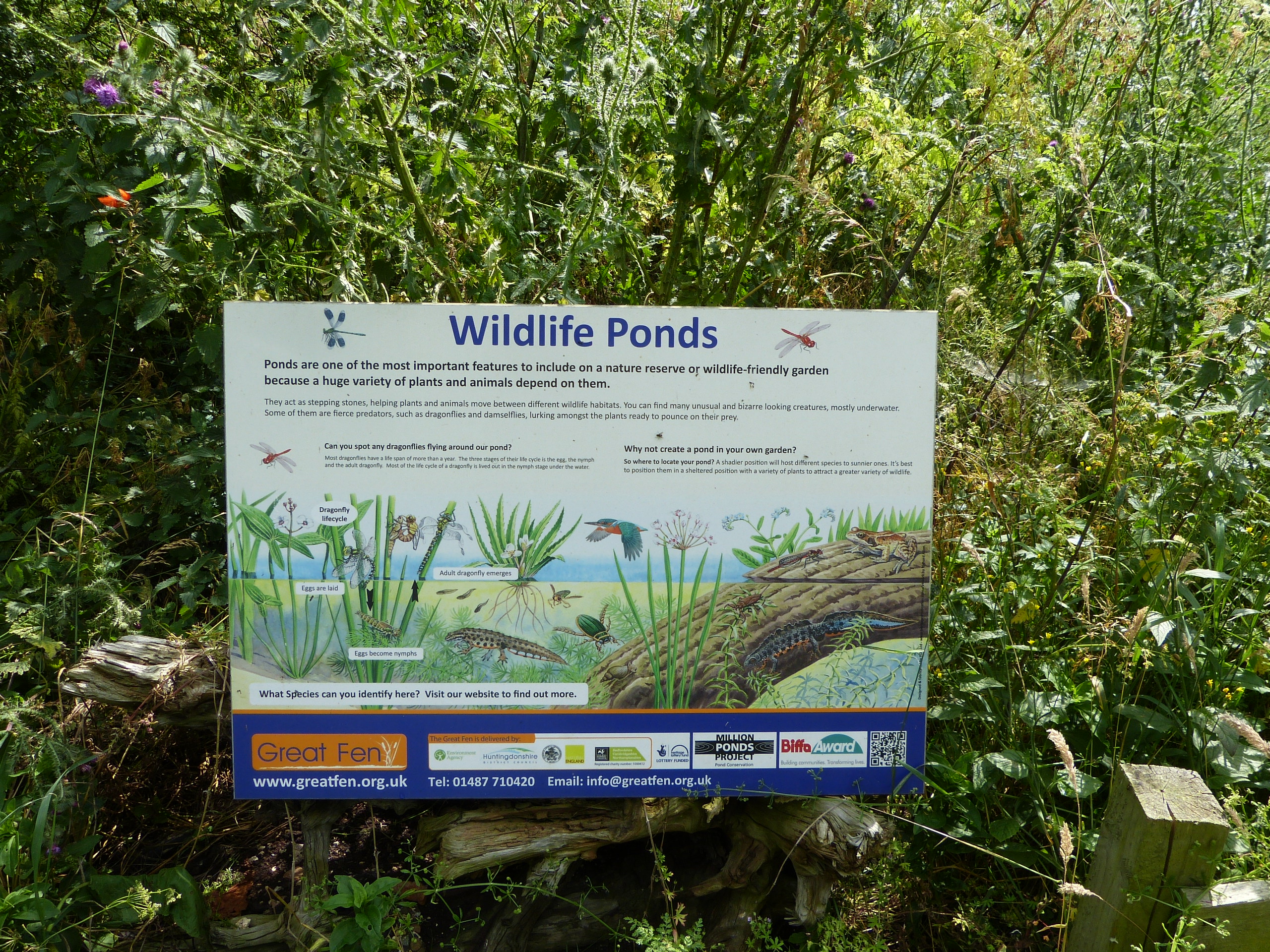
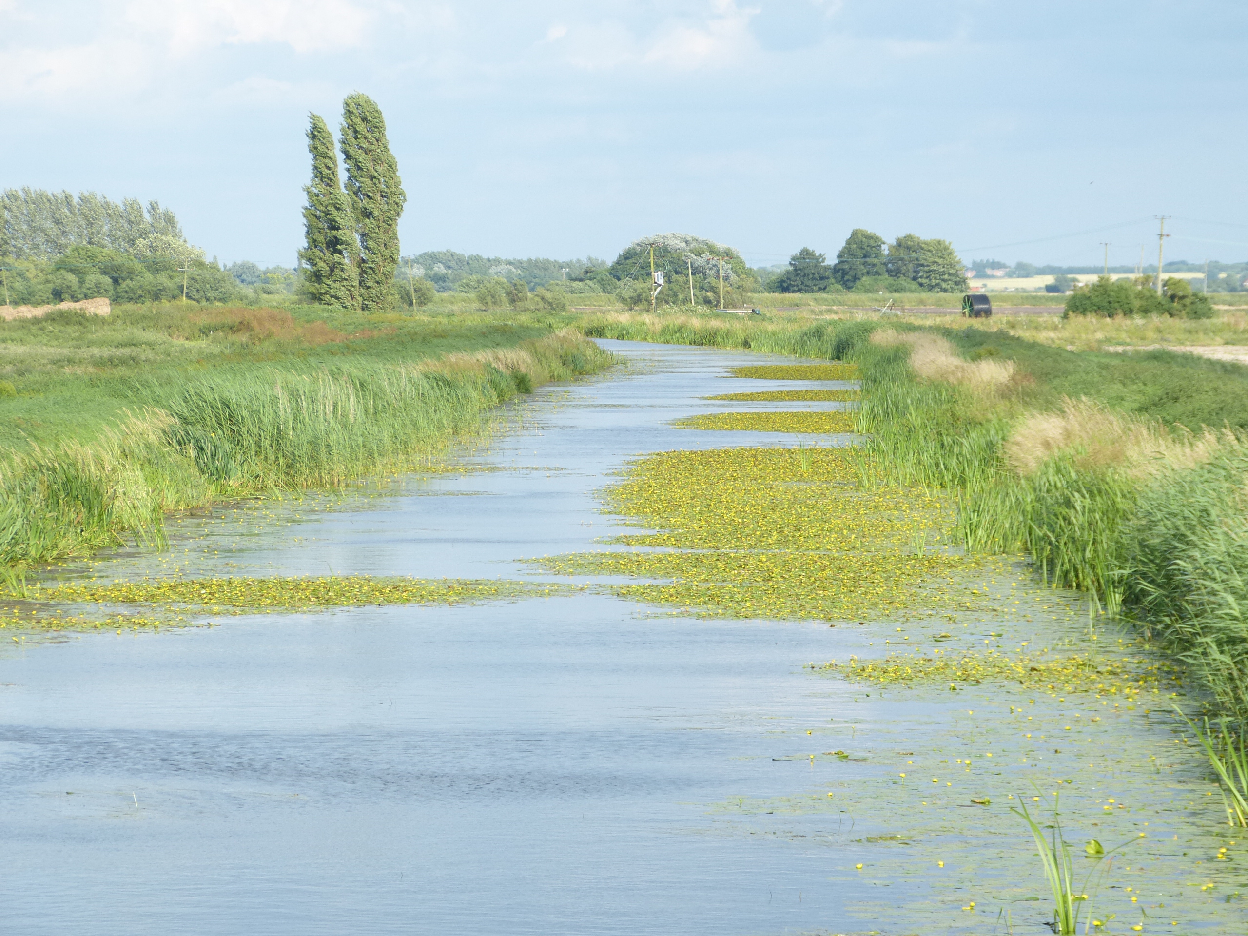
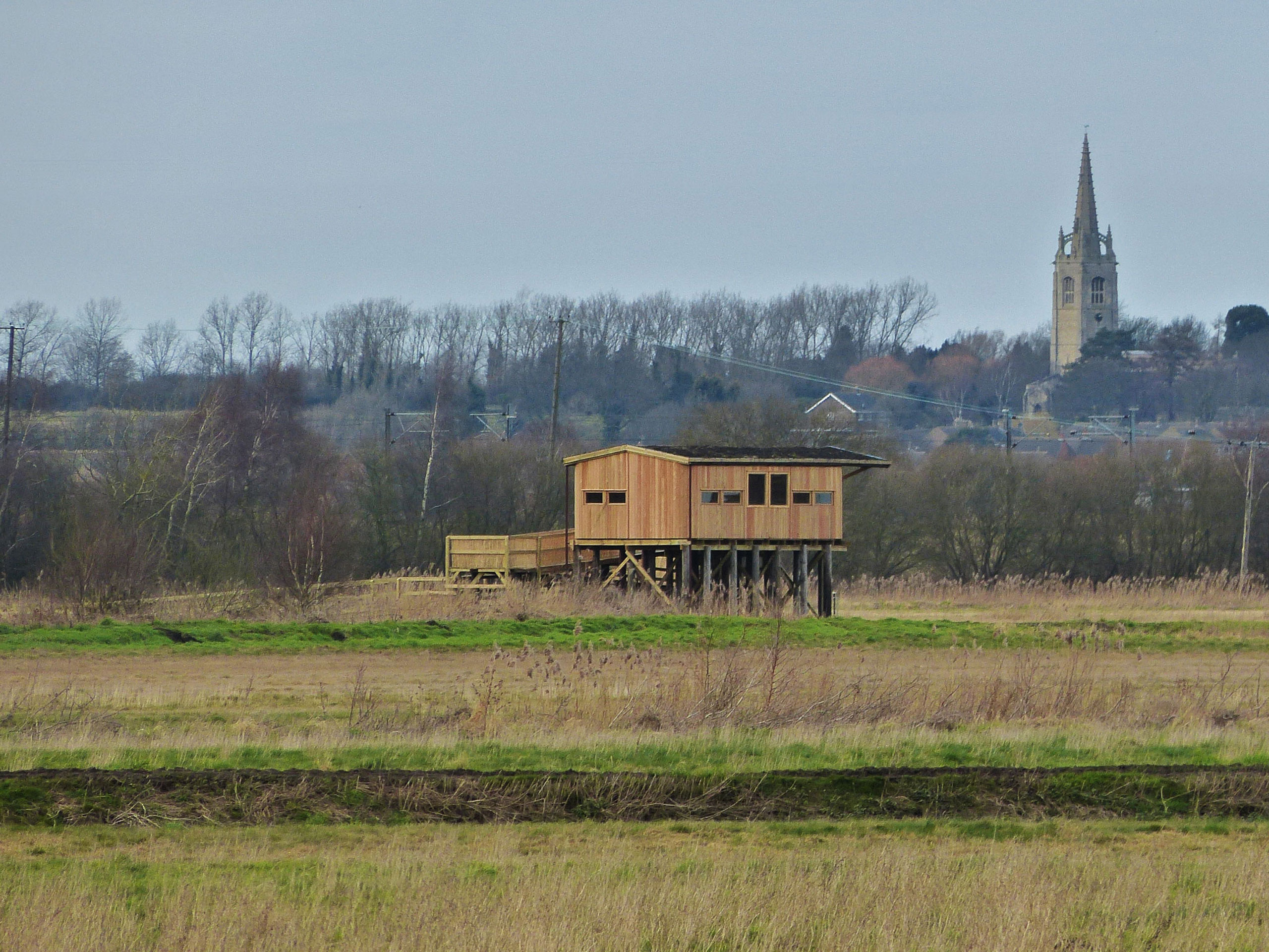
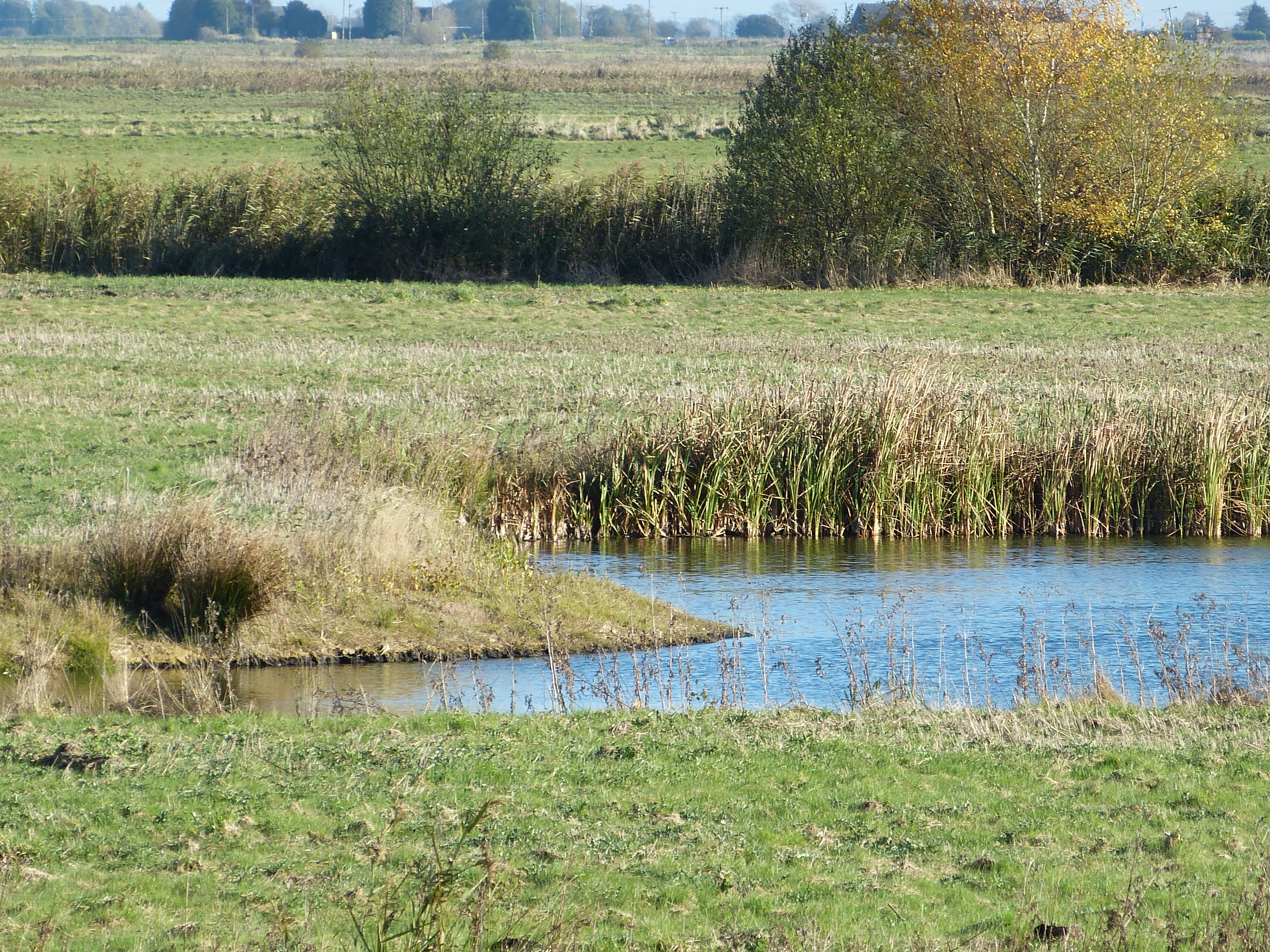
From Yaxley via Holme and on to Connington, the trail skirts the western edge of the fenland on the border between the clays and peat. A detour into the northern part of the Great Fen is possible and there will be a circular walk into the village of Sawtry. Highlights include Yaxley Church, the Admiral Wells pub, Holme Fen, Whittlesey Mere, and Rymes Reedbed.
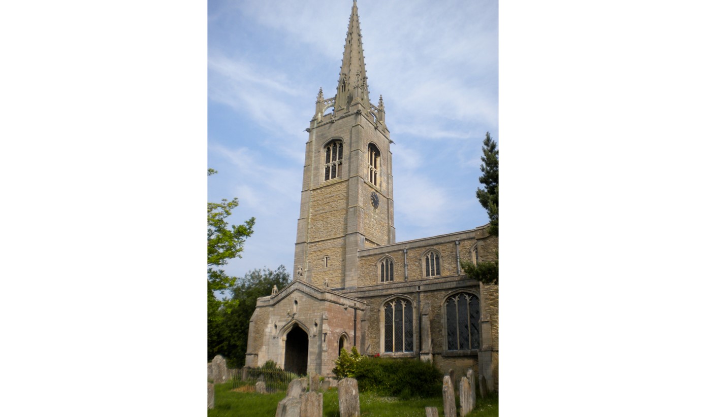
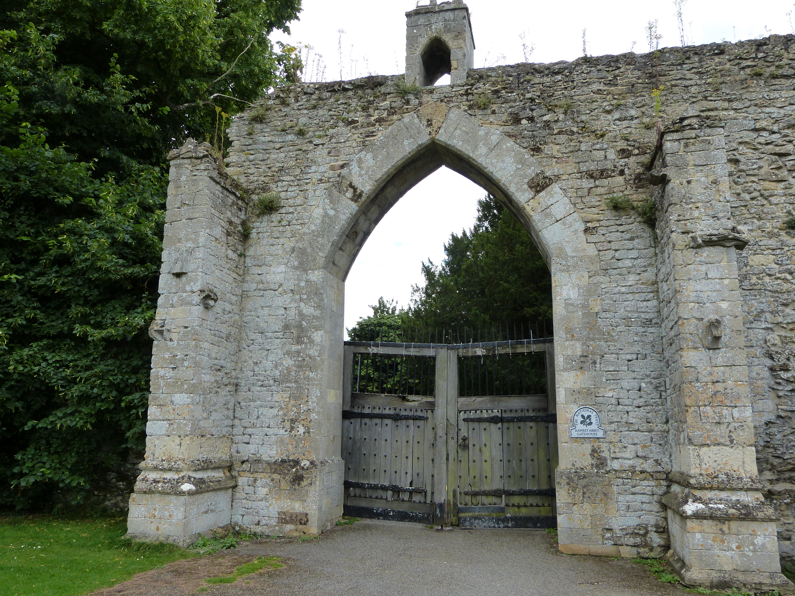
Turning south east, the Trail travels across the lower land of the fens again and through gently rolling countryside from Woodwalton to Upwood, and on to the historically important town of Ramsey. Highlights include Sawtry Abbey ruins, Five Arches Pit, Woodwalton Church, Lady’s Wood, and Upwood Meadows. A detour takes you into Ramsey Heights Nature Reserve and Woodwalton Fen.


For more details of the geology see the British Geological Survey map viewer.
© Cambridgeshire Geological Society