
Peterborough to Ramsey:
Yaxley to Sawtry
Three walks:
The next two walks on the Peterborough to Ramsey section take you from Yaxley to Sawtry, and there will also be an additional walk into the Great Fen.
1 (5) Yaxley to Holme – due 2024
2 (6) Holme to Sawtry – being developed
3 (6a) additional walk into the Great Fen – Whittlesey Mere and Holme Fen
Current partners helping to develop the Trail here are the Fenland Trust, the Great Fen, the Great Fen Heritage Group, Holme History.

Walk 1 (5): Yaxley to Holme
due 2024


In partnership with the Great Fen Heritage Group
4.8 miles (7.8 km)
This walk is one of the few Fen Edge Trail walks that is able to follow the 5 metre contour (where the land is 5 metres above sea levle) for most of its route. Starting at the impressively located Stanground Church, the walk goes across quiet countryside, on field paths, with views over the higher land to the north and west. It crosses an interesting area where there is an ‘inlier’ of older rock that brings Jurassic limestone, similar to that underlying parts of Peterborough, to the surface, amidst the softer and younger Oxford Clay that forms most of the Fen Edge bedrock.
Passing woodland near to Holme, it enters the village and finishes at the ‘lowest pub in England’, the Admiral Wells, named after the grandfather of William Wells who was responsible for draining Whittlesey Mere in the late 1800s.


Landscape and Geology
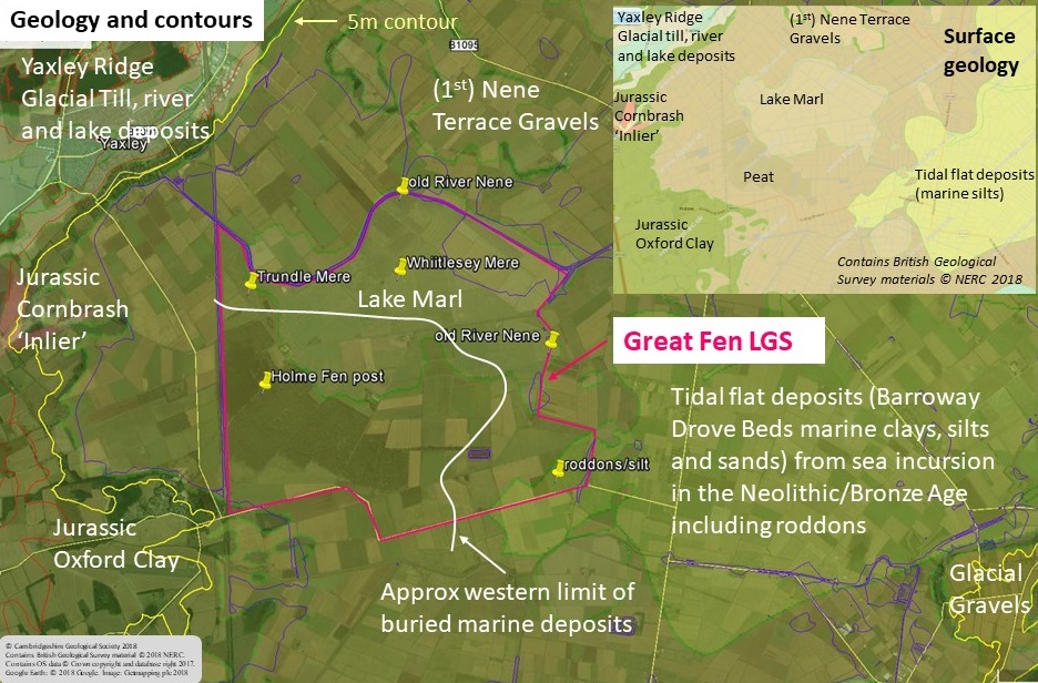
The ‘Peat’ of the Fens is very complex, its character dependent on the type of vegetation that it contains, including reeds, wood and sphagnum moss. The latter grows where material has built up high enough to escape the calcareous ‘fen’ waters and be influenced by (acidic) rain, thereby creating acidic Peat bog. This only occurred in a few areas but particularly in the ‘bays’ of this western fen edge. The most extensive marine incursion, during the Bronze Age, did not reach this far (only reaching to the east of Holme Fen) allowing a deep sequence of Peat to form uninterrupted (possibly since as long ago as c.8,000 years), although much has now gone. The Oxford Clay is famous for its fossils of marine reptiles, such as large Ichthyosaurs and Plesiosaurs (including Pliosaurs). This walk starts high on the ridge of glacial material that runs from Stanground to Yaxley and then passes down onto the Oxford Clay for most of the rest of the walk. However, it crosses an area of older rock – an unusual ‘window’ into the deeper past – and this older Jurassic rock includes a band of Cornbrash limestone, once quarried for its use as a building stone.
Walk 2 (6): Holme to Sawtry
being developed


5.5 miles (8.9 km)
Starting at the famous Admiral Wells pub in the village of Holme, this walk heads south to wind along country lanes before crossing over the A1 to the village of Sawtry where it finishes on the Green near the village sign. Skirting the edge of this remote part of the south western Fens, it passes through the historic village of Conington with its attractive church being a notable feature of the landscape. A short detour from the village will take you to the Glatton Memorial Monument, an impressive black marble monument with gold writing. It commemorates the 457th Bomb Group that operated out of Glatton airfield during the 2nd Word War. To the south of the village is the site of Conington Castle, which you pass on the way to Sawtry.
Sawtry was a strategically important village, lying at the edge of the fenland, just above the 5 metre contour, and also on the main road north, Ermine Street (later called the Great North Rd). It was recorded as Saltrede in the Domesday Book (11th century), after ’salt stream’, as the village was an important place where salt, made in the Fens, was loaded onto transport to be taken further inland.


Walk 3 (6a): The Great Fen
being planned

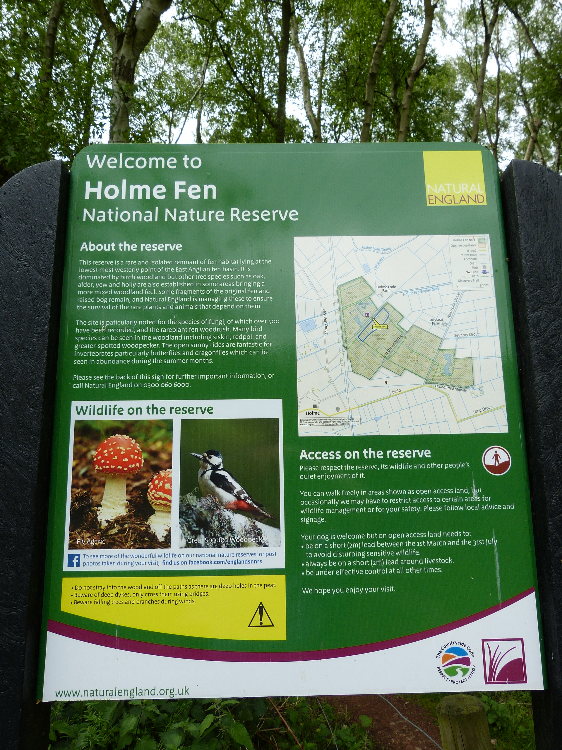
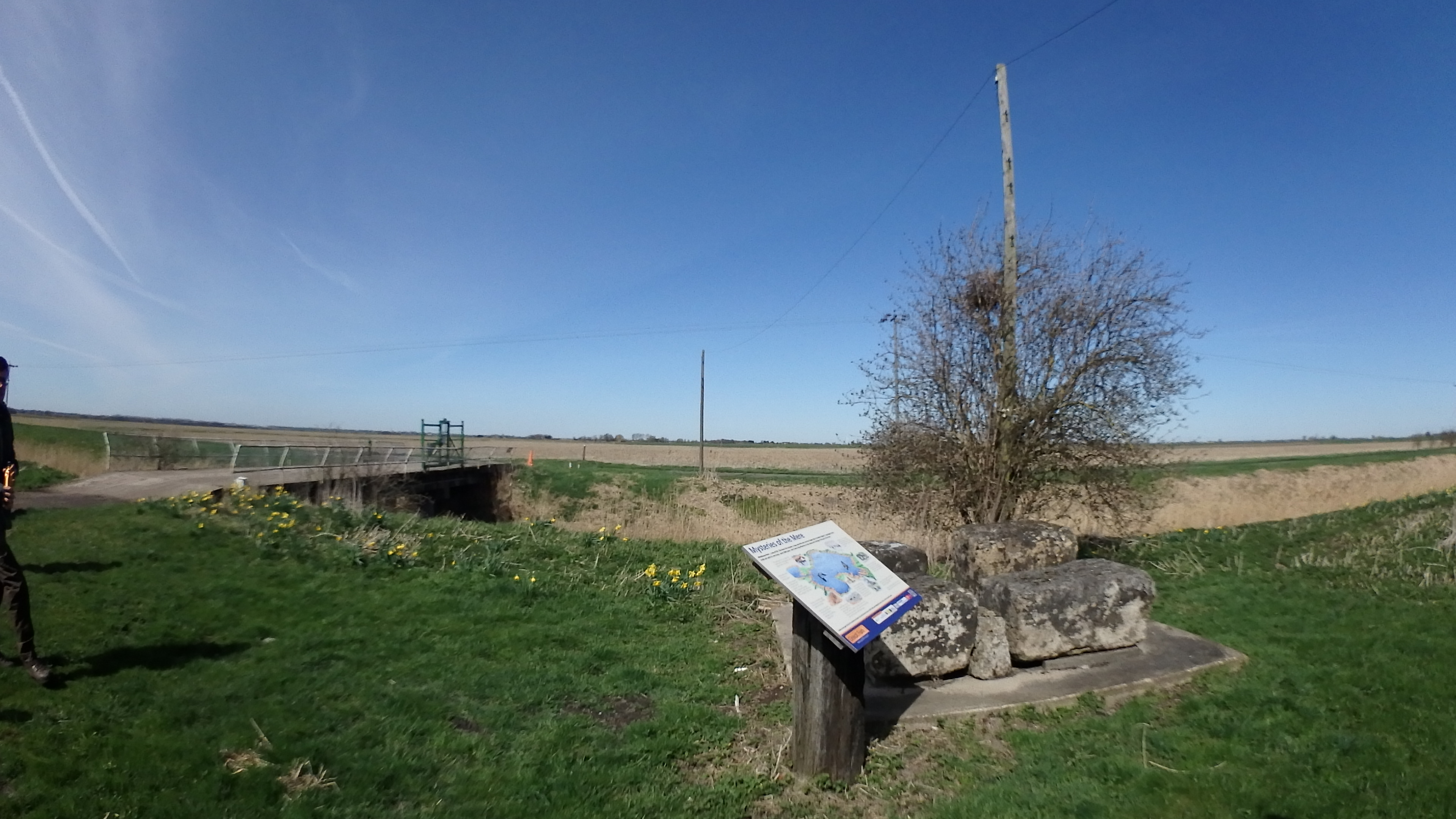
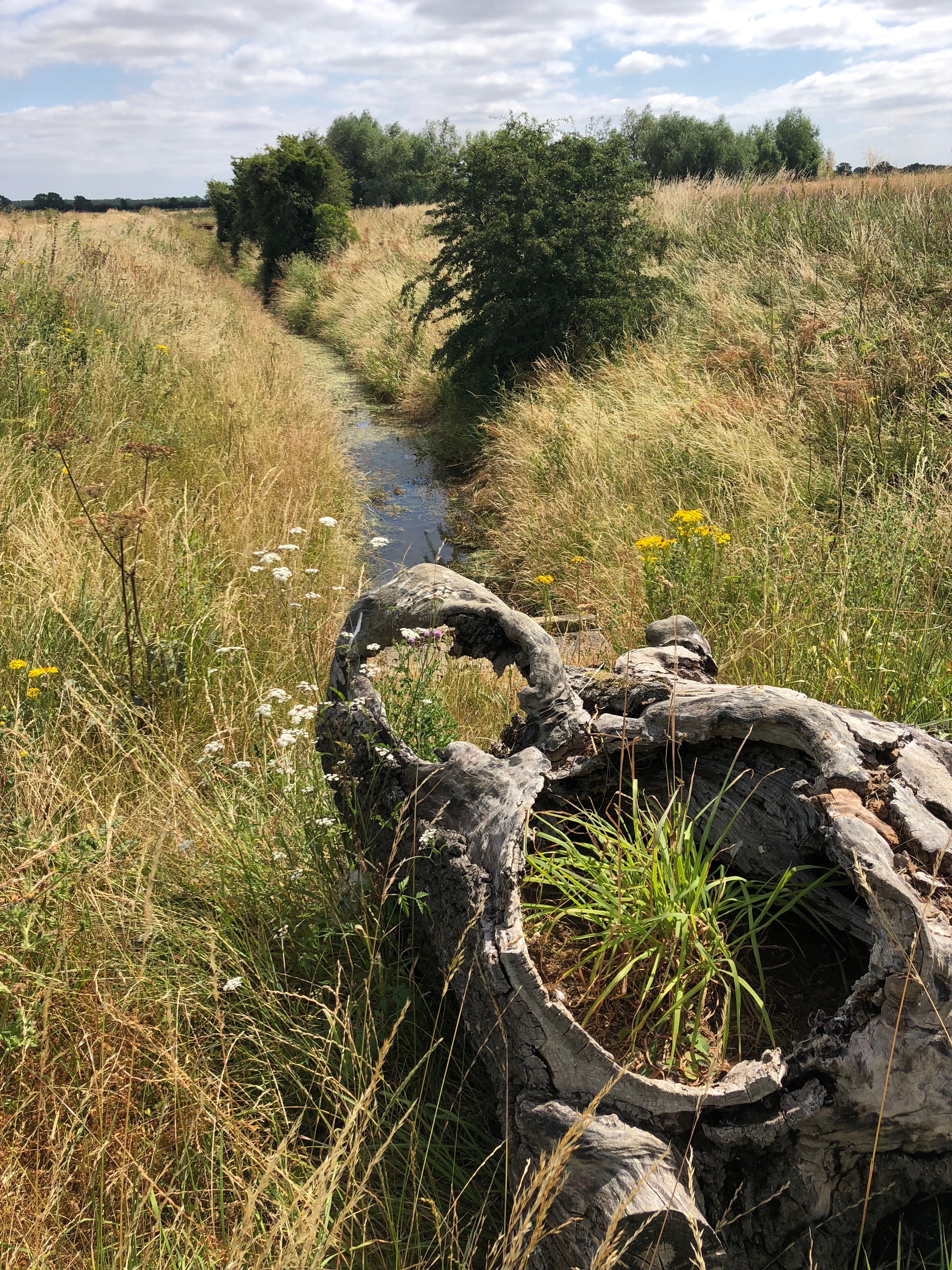
To the east of Holme is the northern part of the Great Fen, a major conservation initiative that aims to restore land for nature conservation. It includes Holme Fen, an National Nature Reserve (and SSSI), famous for the location of the Holme posts which record the dramatic amount of peat shrinkage that has occurred in the area. Walking access into the Great Fen is being developed in partnership with local landowners and Huntingdonshire District Council. At present, it is advisable to drive to one of the parking areas in the Great Fen from where you can walk a variety of way marked routes taking you through both the established nature reserves and the areas under restoration. The longest (6.5 miles) is the Last of the Meres Trail.


The Great Fen Local Geological Site
The Great Fen: Holme Fen and Whittlesea Mere LGS was designated in February for its importance in telling the story of the geology and landscape of the Fens over the last ten thousand years. The site comprises the land in the northern part of the Great Fen that is owned by The Wildlife Trust BCN and Natural England. More details here.
The additional walk will take you into the LGS to see the area that was once Whittlesea Mere and the Holme Post, which shows how much the Peat has shrunk since drainage 150 years ago.
© Cambridgeshire Geological Society