
Cambridge to Isleham
This part of the Trail consists of four sections.
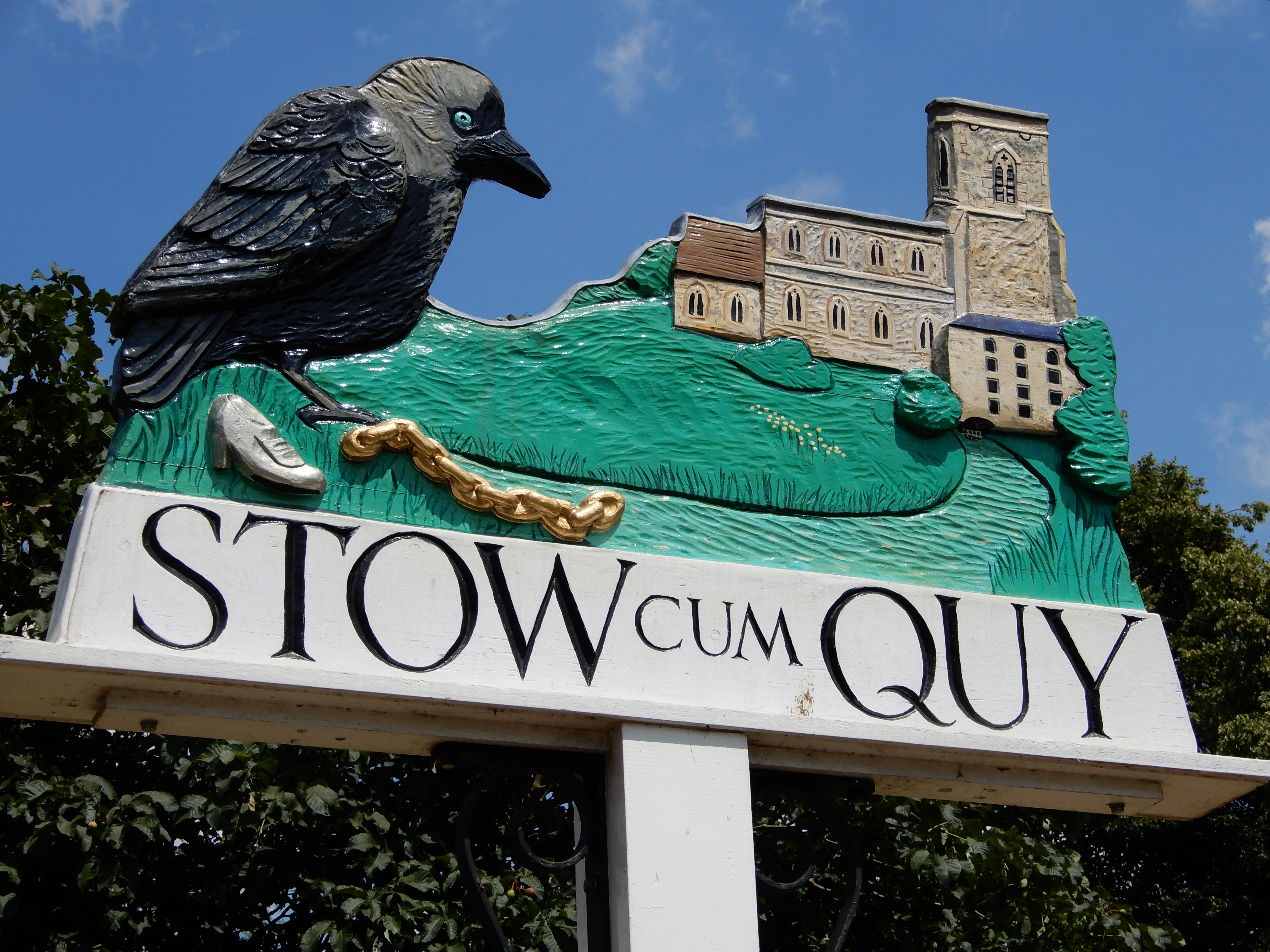
Cambridge to Stow cum Quy Stow cum Quy to Reach Reach to Wicken Wicken to Isleham
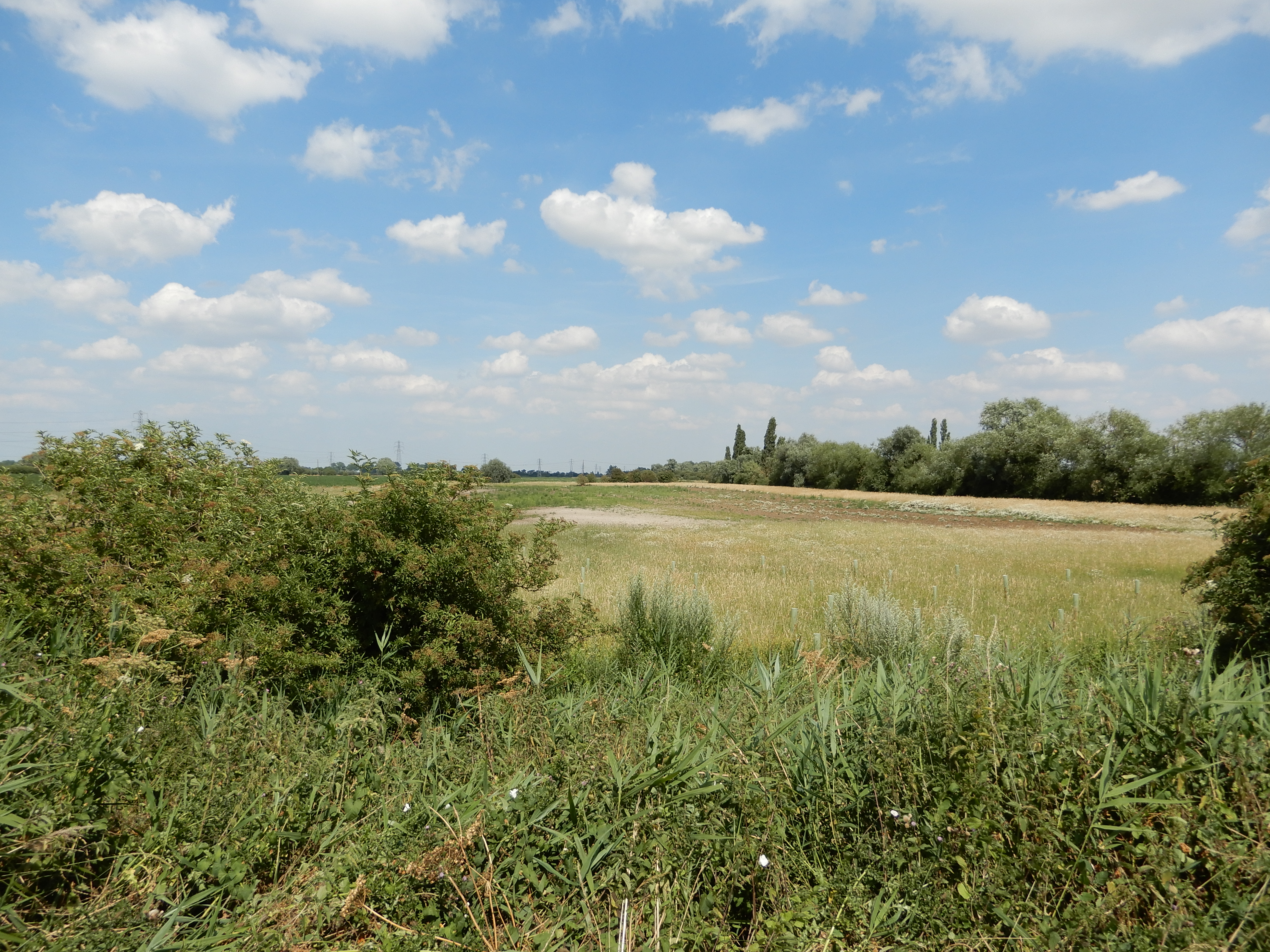
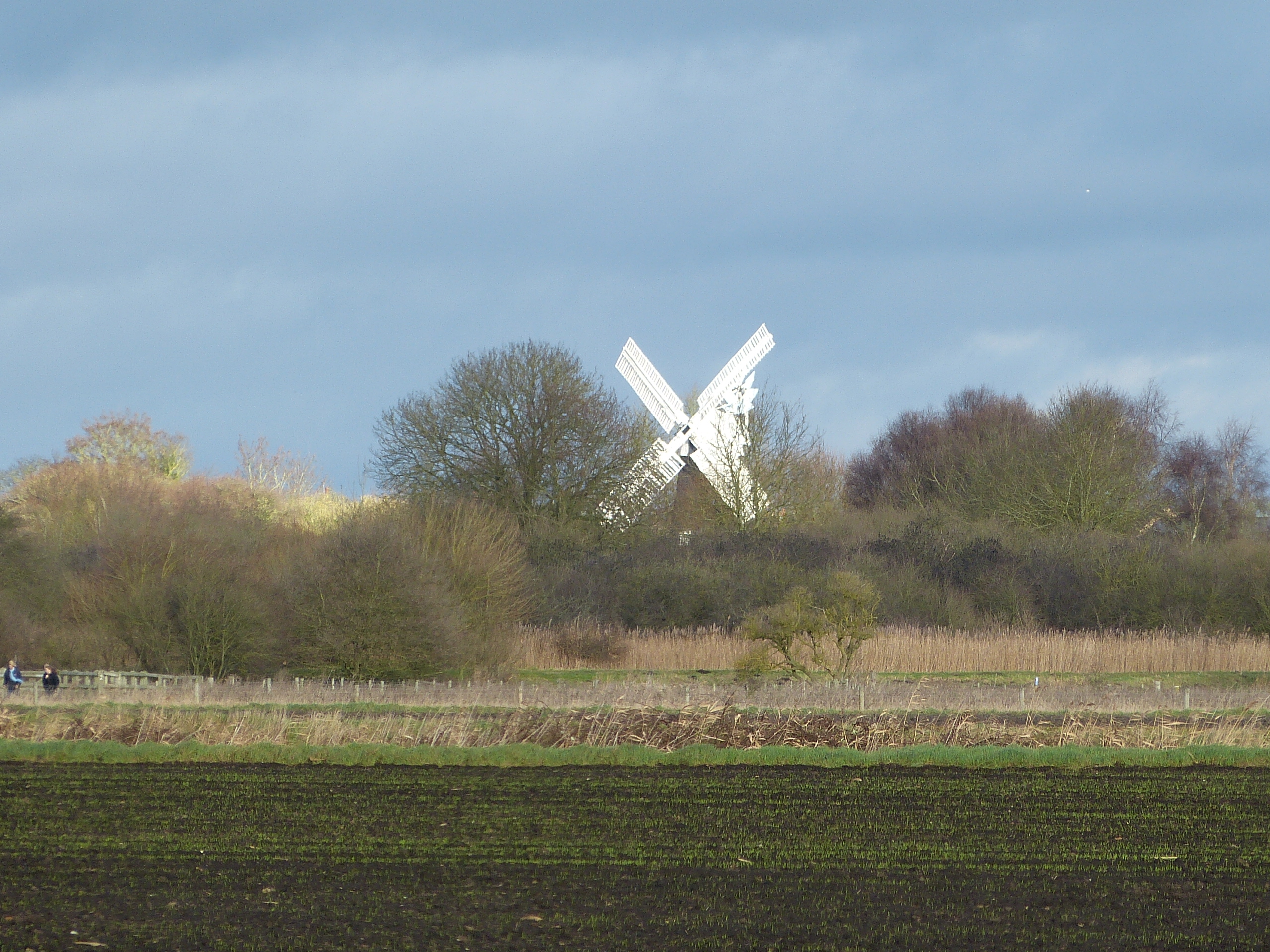
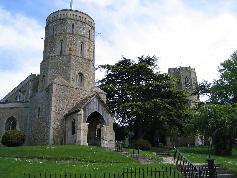
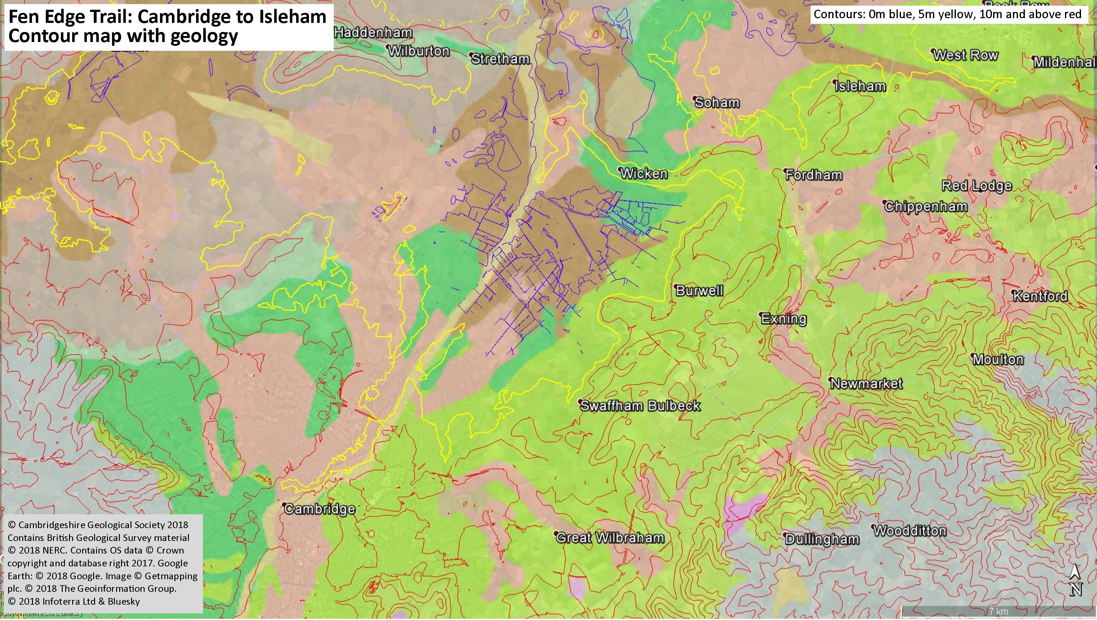
The south east part of the Cambridgeshire Fen Edge, from Cambridge to Isleham, follows close to the base of the chalk escarpment that forms low chalk hills in this corner of the county. Travelling north east out of the city, the 5 metre contour mirrors the route of the River Cam as far as Horningsea, and one option is to follow the Trail by boat from Cambridge as far as Fen Ditton. From Quy, the Trail passes through the springline villages of Stow and the Swaffhams and on to Reach, famous for being located at the northern end of the Anglo Saxon earthwork, the Devil’s Dyke, on a peninsula of land that extends out into the low lying fenland. Burwell was an important area for quarrying of the chalk to make building stone known as ‘clunch’ and the area is also known as a source of phosphate, mostly from deposits of coprolites. North of Burwell is the ‘ridge’ on which Upware and Wicken lie. This is an important geological feature that is famous for its Jurassic limestone, formed mostly from the fossils of corals and other tropical sea creatures, and still quarried today. Following the trail to the NE, where the chalk escarpment becomes less noticeable, the villages of Fordham and Isleham (the end of the Fen Edge Trail) are reached. Fordham boasts a small nature reserve along the River Snail – one of the few Chalk streams visible in the area.
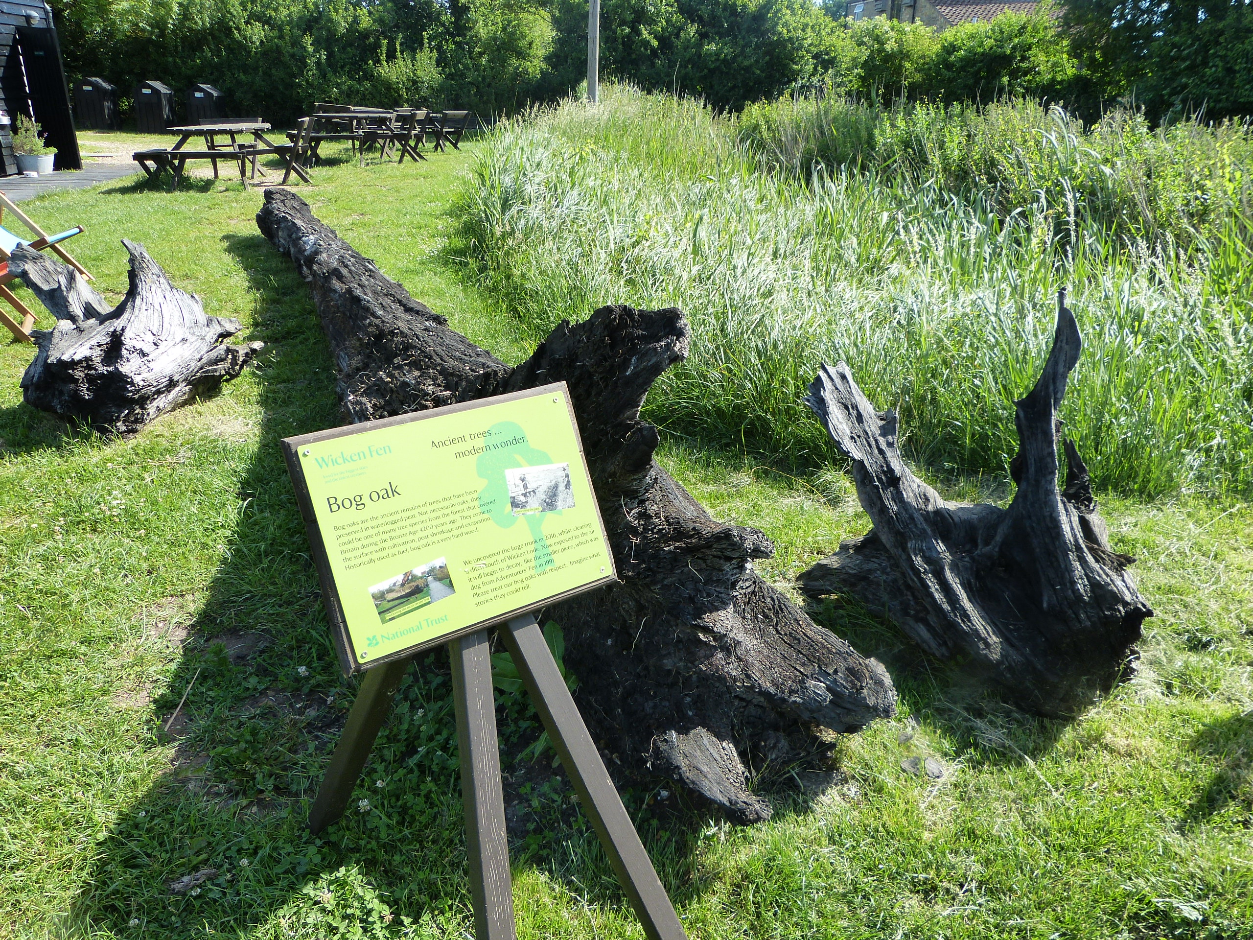
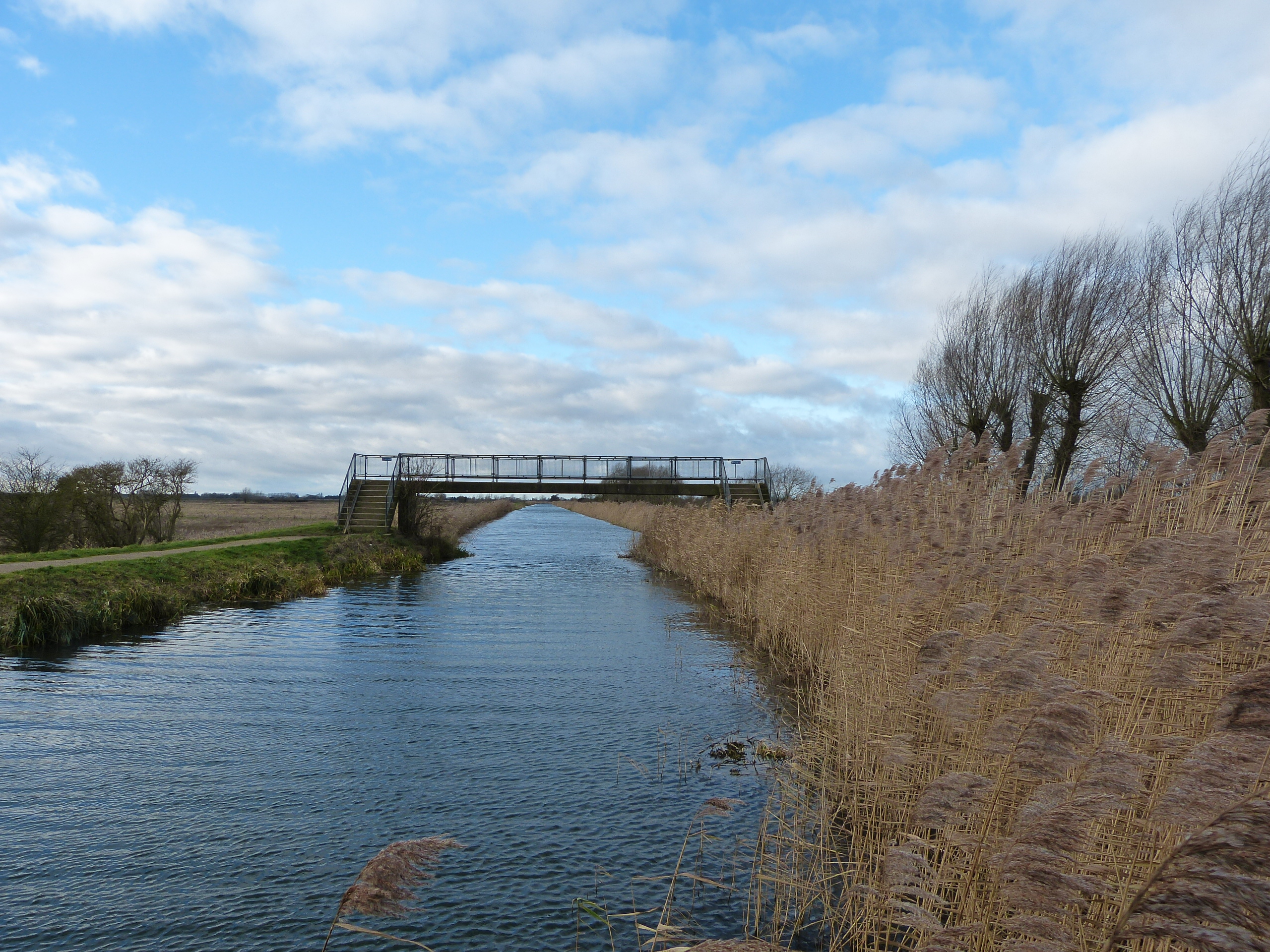
As with most of the Fen Edge, the area is rich in history. The edge of the fens here are criss-crossed with still navigable lodes (small waterways) and some were originally widened by the Romans to aid the transport of goods into the local settlements. The Roman port in Reach is a fine example of this with traded goods, coal etc being brought in and produce, peat, phosphate and building stone exported along them up until the early 1900’s.

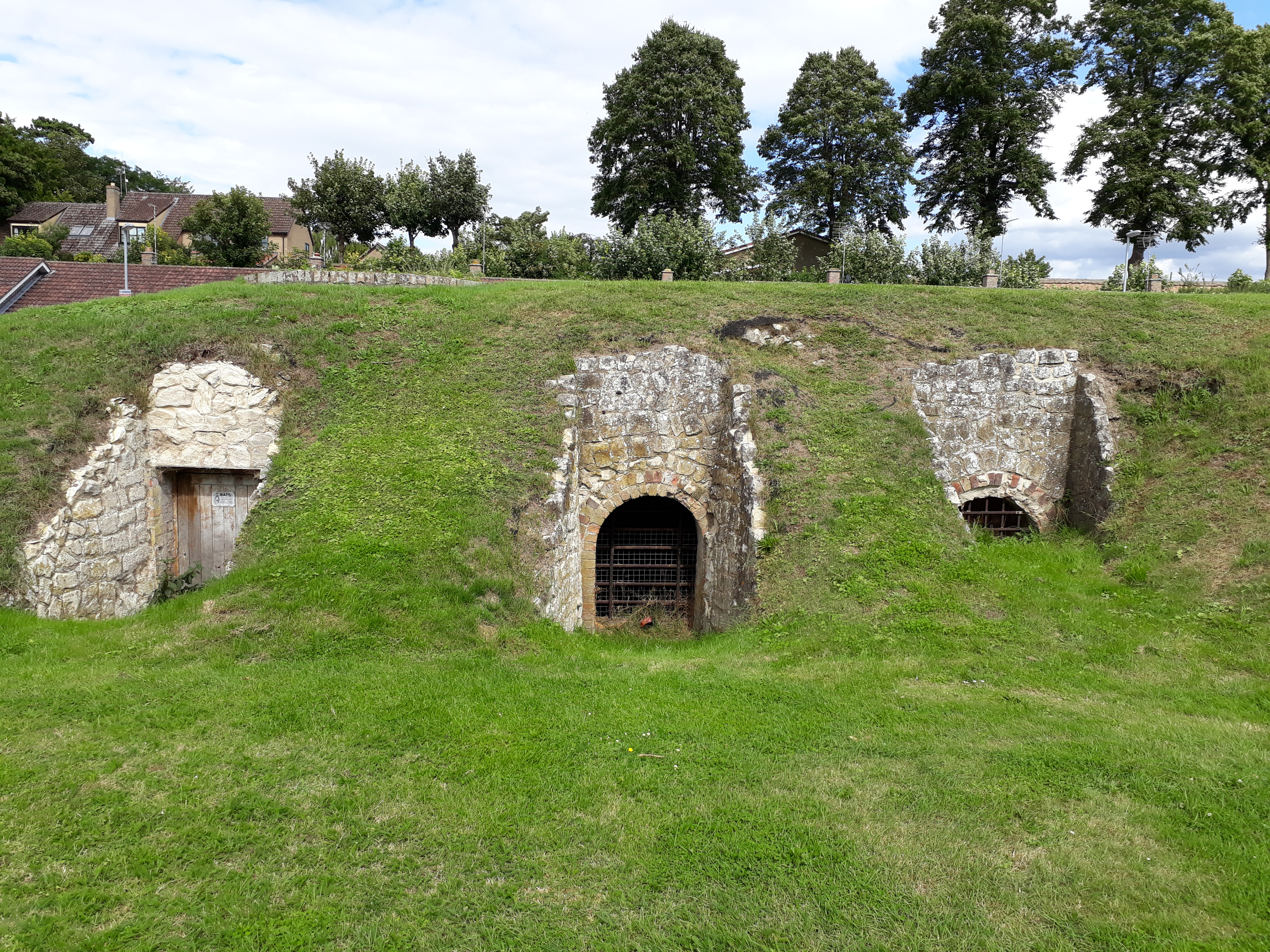
This south eastern edge of the Fenland is mostly arable land – flat open monoculture, but punctuated by important oases of wilder fen and watery landscapes. The landscape is draped over the geology, from the richer soils of the floodplains and peat in the fenland through to the thinner chalk soils on the uplands to the east. The bedrock underneath shows a succession from the Jurassic of the Upware ‘inlier’ (an area of older rock that is now at the surface, surrounded by younger rock),to the Cretaceous Gault Clay which often forms a superficial covering of the ancient river terrace deposits that have cut through the fen peat – now much disturbed. The bedrock layers (strata) get younger toward the south east and where the land begins to rise, the Grey (Lower) Chalk forms the Fen Edge – marked by old quarries that were particularly prized for the hard Totternhoe Stone (also known as Burwell Rock) found near the base of the Chalk succession.


For more details on the geology see the British Geological Survey map viewer
© Cambridgeshire Geological Society