Walks update
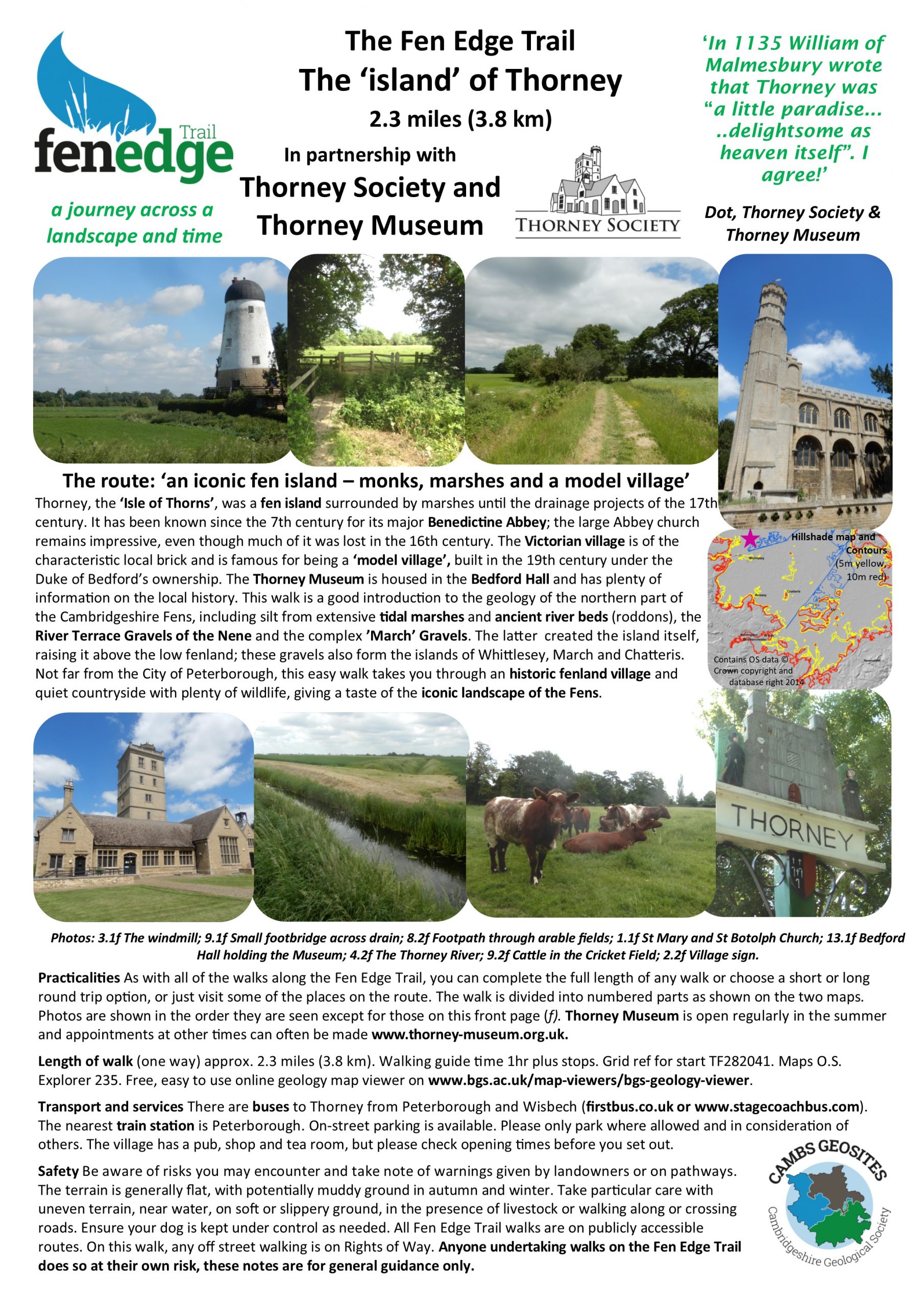
We are gradually completing the walks to link up the whole of the Fen Edge from Peakirk, near the Lincolnshire border in the northwest, to Isleham, near the Suffolk border in the southeast, and around the islands – the ‘Isle of Ely’, March, Chatteris, Whittlesey, Thorney and Wisbech.
The map shows the routes of the walks that are already published and others that are currently being planned. See below to download the published Walk Guides and for the list of walks.
Walks published so far: 20
Download Walk Guides below
Due 2024/25: 8
Being developed: 14
Planning underway: 6

Download the published Walk Guides
Each Walk Guide contains two maps, one giving directions and the other showing the landscape of the area, including the contours and geology. It also gives practical advice as well as information on features and places of interest to be found on the walk. The walks are shown below in geographical order starting near Peakirk, north of Peterborough, and finishing at Isleham, followed by the 6 islands. Download the Walk Guides already published below.
Printed copies are available for a small cost (to cover printing and any postage)- please email us to enquire. If you use a GPS and wish to have the GPX file for a walk, please contact us and we will send it to you. We hope to put all GPX files on the website for download at some stage in the future.
If you would like to know the route of a walk that is not yet published, look on the relevant webpage or contact us for the details. If you or your group would like to be a partner in the project and help plan the walks, please contact us.
1 & 2 Peakirk to Peterborough more info
3 Peterborough to Stanground due 2025 more info
4 Stanground to Yaxley DOWNLOAD WALK GUIDE more info
5 Yaxley to Holme more info
(addn) Great Fen north more info
6 Holme to Sawtry due 2025 more info
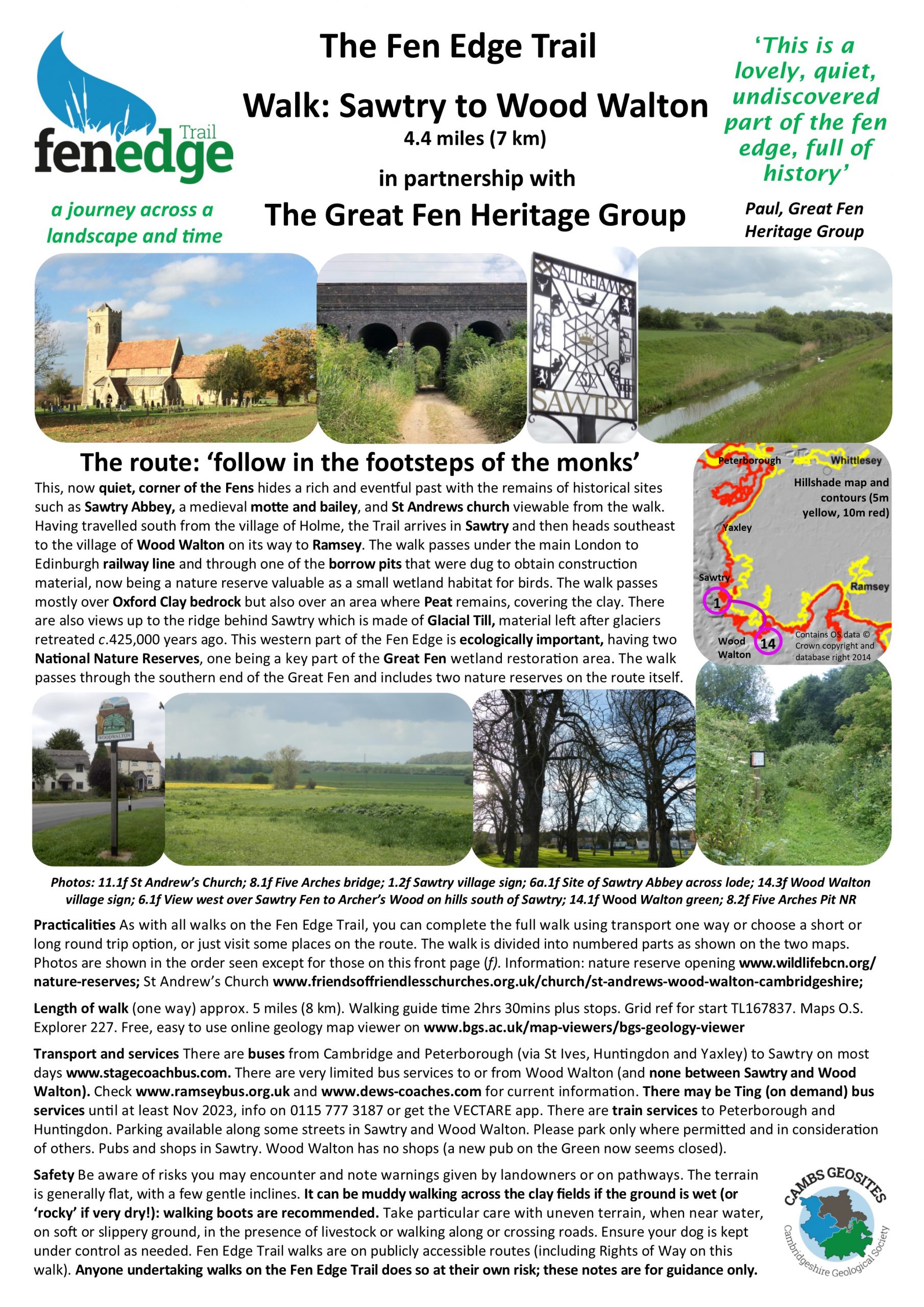
7 Sawtry to Wood Walton DOWNLOAD WALK GUIDE more info
8 Wood Walton to Ramsey DOWNLOAD WALK GUIDE more info
8a (addn) Ramsey to the Great Fen more info

9 Ramsey to Wistow DOWNLOAD WALK GUIDE more info
10 Wistow to Warboys DOWNLOAD WALK GUIDE more info
11 Warboys to Somersham DOWNLOAD WALK GUIDE more info
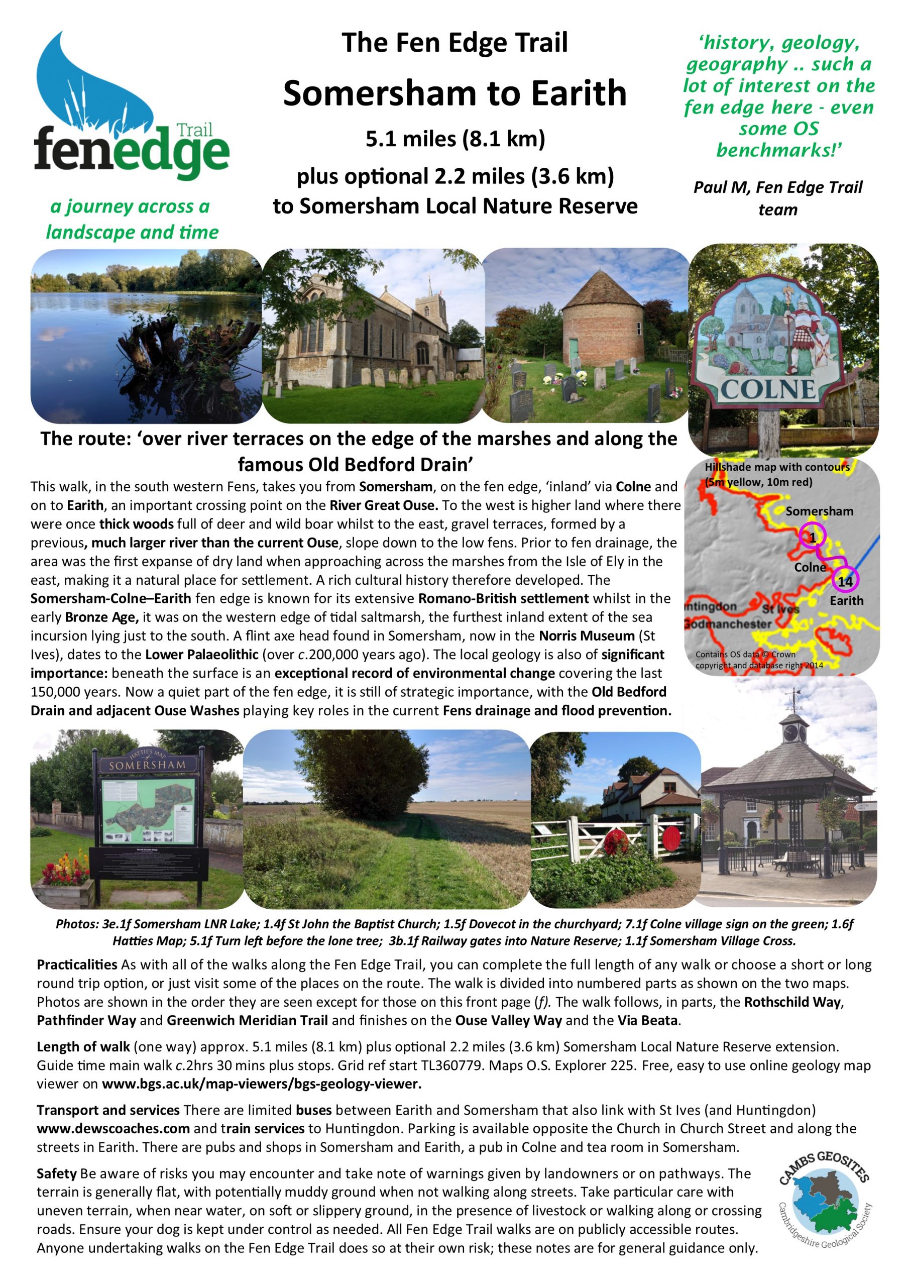
12 Somersham to Earith DOWNLOAD WALK GUIDE more info
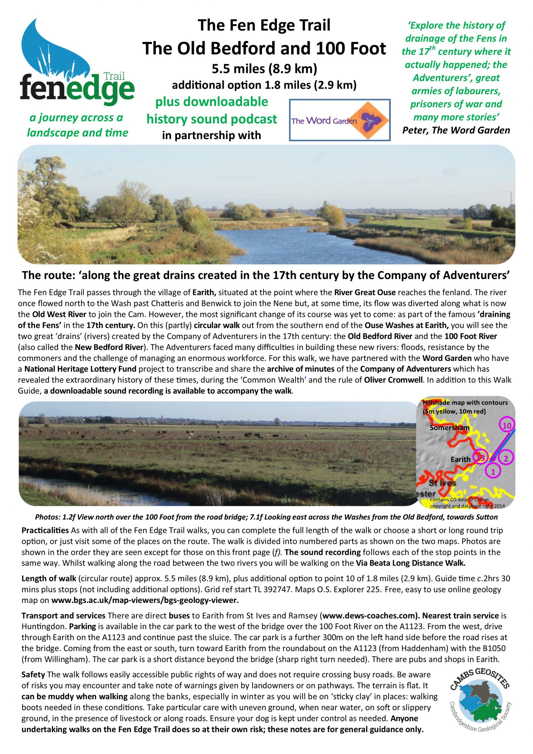
12a (addn) Earith Old Bedford and 100 Foot, Word Garden DOWNLOAD WALK GUIDE more info
13 Earith to Needingworth DOWNLOAD WALK GUIDE more info
14 Needingworth to St Ives more info
15 St Ives to Swavesey DOWNLOAD WALK GUIDE more info
16 Swavesey to Willingham more info
17 Willingham to Cottenham more info
18 Cottenham to Waterbeach more info
19 Waterbeach to Milton due 2025 more info
20 Milton to Cambridge Castle Hill DOWNLOAD WALK GUIDE more info
21 Cambridge Castle Hill to the Sedgwick DOWNLOAD WALK GUIDE more info


22 Cambridge to Fen Ditton DOWNLOAD WALK GUIDE more info
25 Stow to Swaffham Bulbeck DOWNLOAD WALK GUIDE more info
26 Swaffham Bulbeck to Reach DOWNLOAD WALK GUIDE more info
27 Reach to Burwell DOWNLOAD WALK GUIDE more info
28 Burwell to Wicken due 2025 more info
29 Wicken to Soham due 2025 more info
30 Soham to Fordham more info
31 Fordham to Isleham due 2025 more info


34 Witcham to Sutton DOWNLOAD WALK GUIDE more info
35 Sutton to Haddenham DOWNLOAD WALK GUIDE more info
36 Haddenham to Wilburton DOWNLOAD WALK GUIDE more info
37 Wilburton to Stretham due 2025 more info
38 Stretham to Ely due 2025 more info
39 Prickwillow to Littleport more info


© Cambridgeshire Geological Society

